Tag: PNW

  • Sailing the San Juans

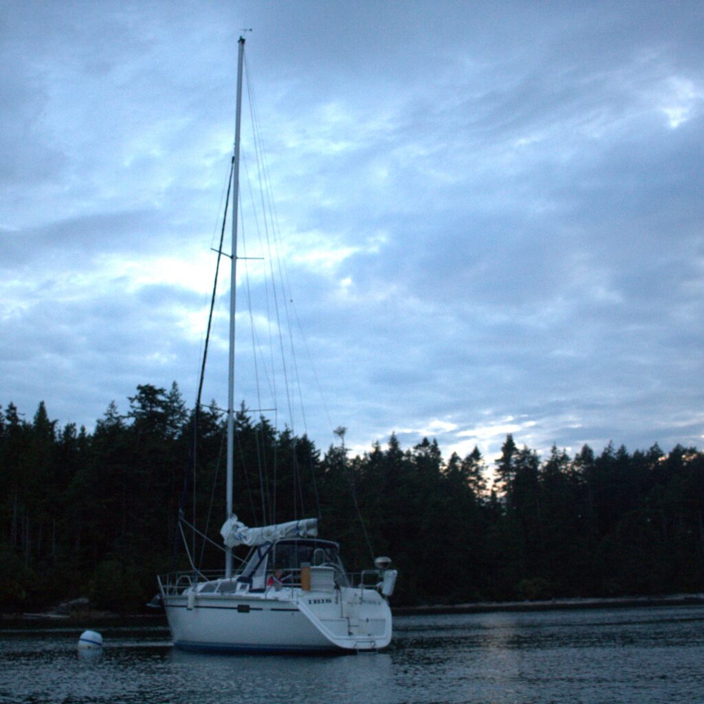
    Our first big adventure aboard Ibis 2019

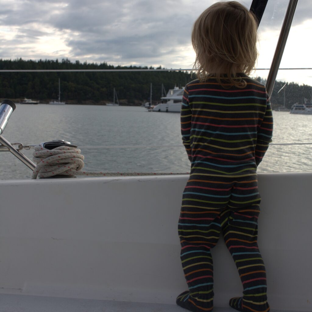
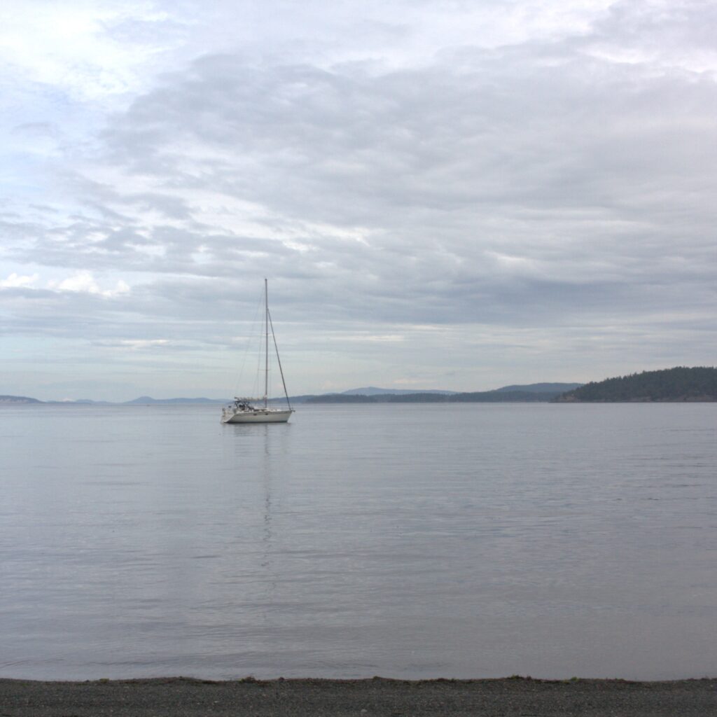
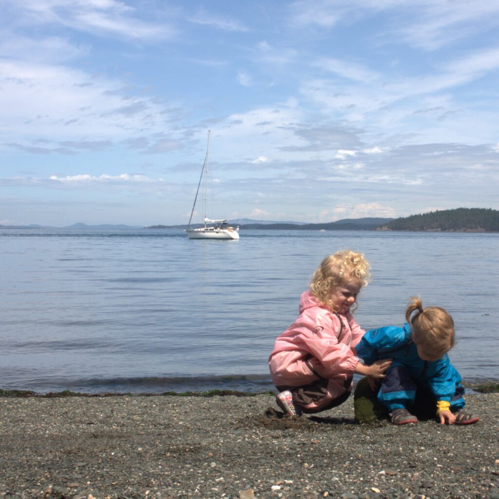
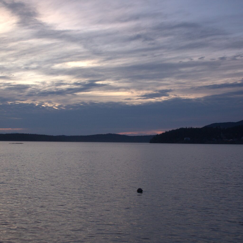
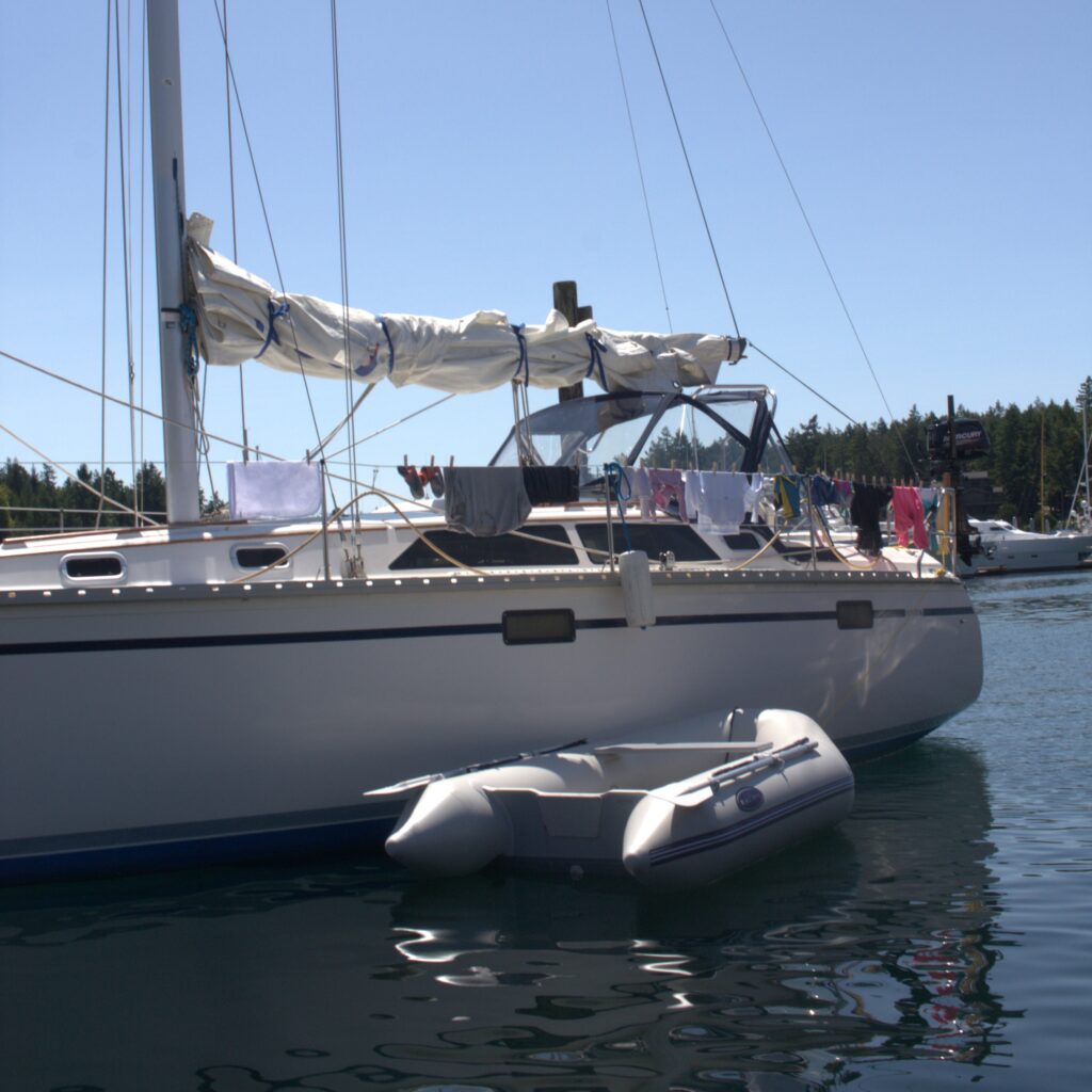
    During the summer of 2019, we finally pursued a long held dream. We sailed the San Juan Islands. We departed from Bellingham, where we acquired Ibis the previous fall. Our sail took us west through the San Juans to Vancouver Island, eastward to James Island, and then south to Seattle. Last minute prepping and the first day aboard had us questioning our idea of a vacation with young children. Is sailing really that enjoyable with two young children? By the end of the trip, we felt more assured than ever that this is the life for our little family. And that we have much to learn.

    We spent a few days in Bellingham prepping for our trip and celebrating the 4th of July. Due to the location of our marina, we were able to wake up our four year old and have her join us on deck for the fireworks. She was enthralled at the time but did not remember the experience the next morning.

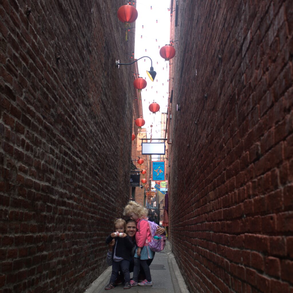
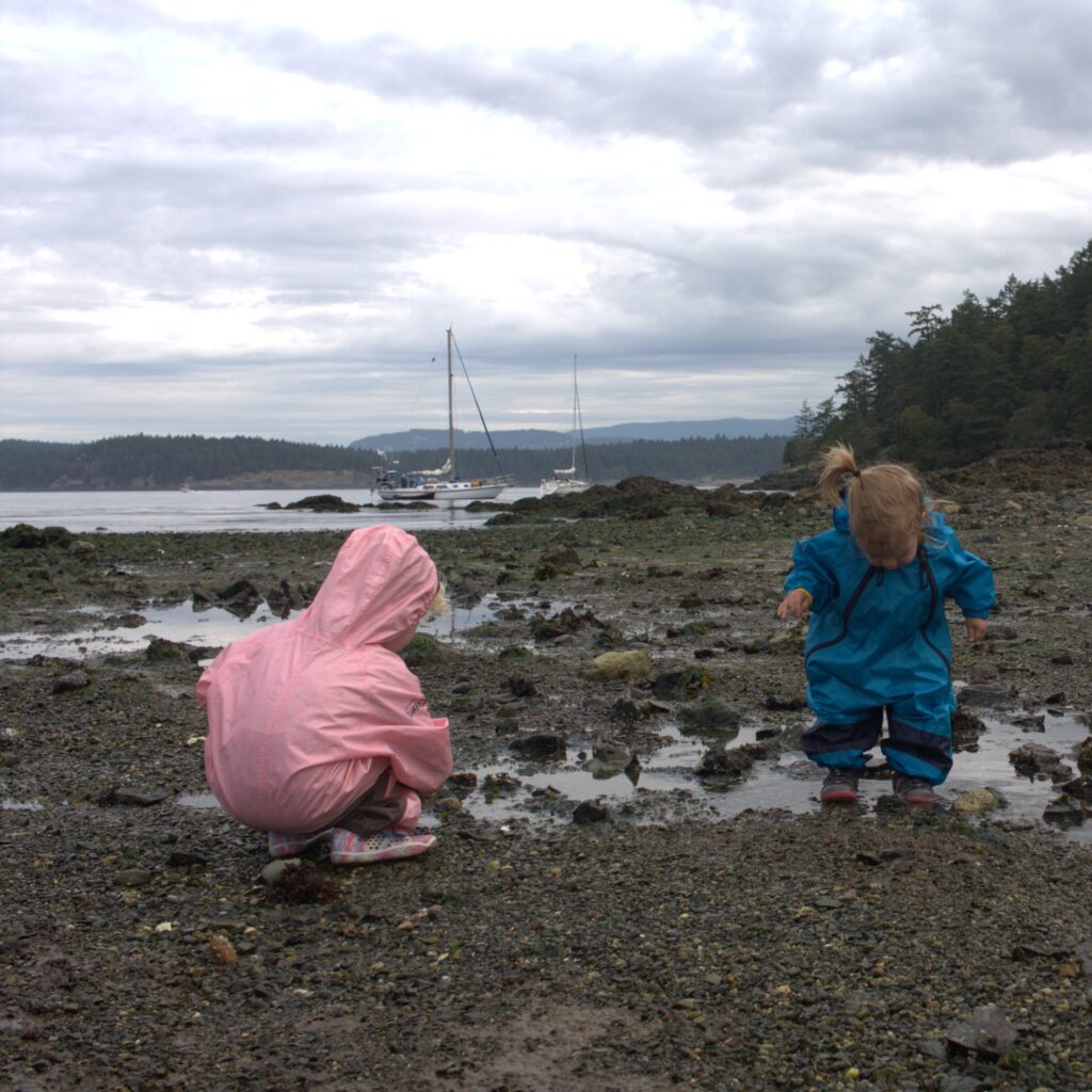
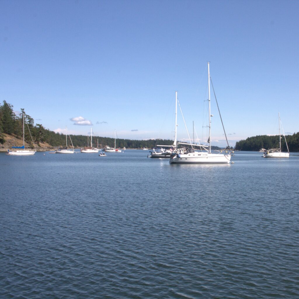
    We were concerned about leaving our car in the public lot next to the marina so we checked her in at the train station’s long term parking. Some packing supplies were left in the car and we departed Bellingham aboard Ibis. Our first day aboard we motored much of the way. We first tried staying at Matia Island. The small Rolfe Cove is cozy and inviting but there was not room for us. We headed over to Sucia Island where we found a mooring ball. Luckily we read about San Juan Island mooring balls the night before or we would have been caught off guard by the setup. Deep in Echo Bay, we were starting to feel good about our adventure. Sucia Island is popular with boaters and campers. We felt isolated and social. We met campers and their dogs. We enjoyed hiking and beach time with the kids. And each grown up had their own adventurous run on land.
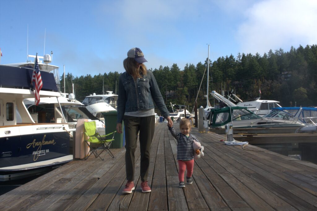
    From Sucia, we headed to Roche Harbor. It was probably our least favorite spot but worth visiting. We stayed at the marina for the amenities offered but we would have had access to the coin showers and laundry even if anchoring. We did use our free access to the pool, which included a free shower. We enjoyed hiking around the resort and went on an adventure to the Mausoleum. We also got to see a wedding, eat dinner out, and enjoy ice cream and donuts. Ice cream is an extra special treat when staying on a sailboat with an icebox.
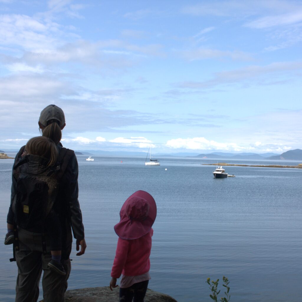
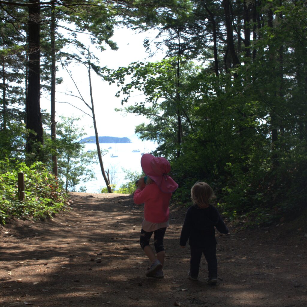
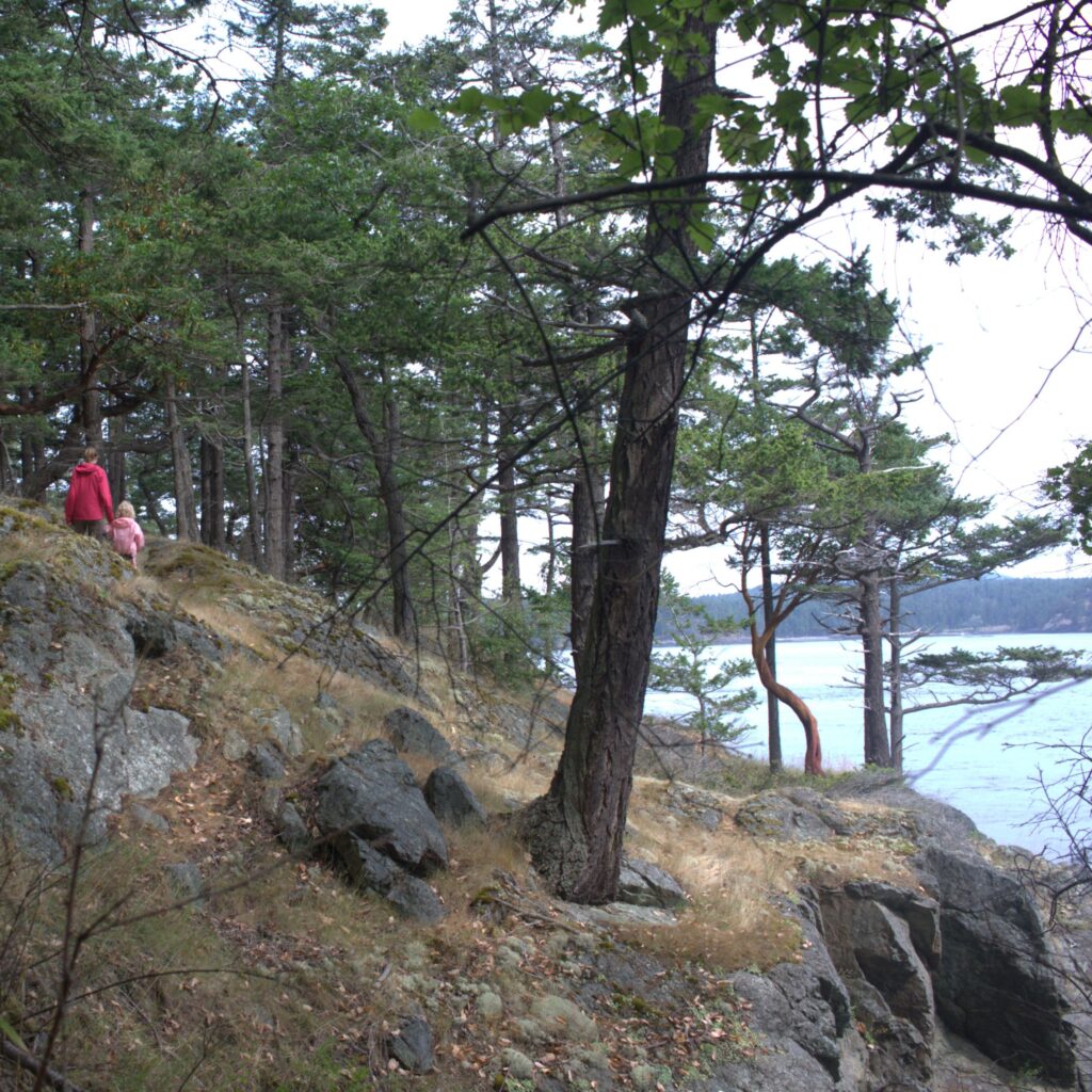
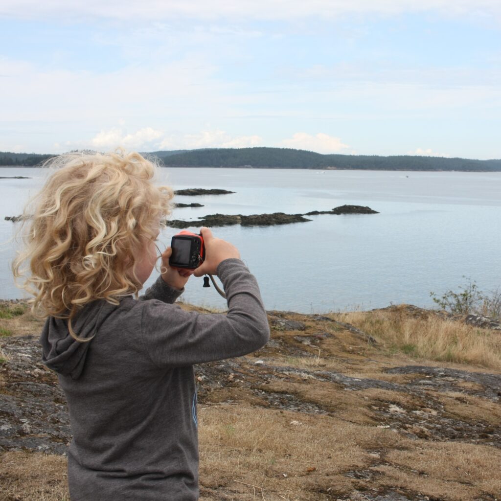
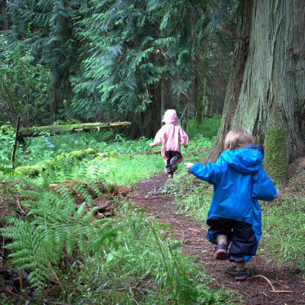
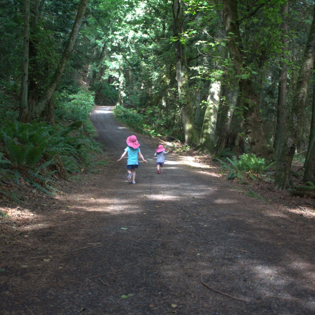
    From Roche Harbor, we headed to Stuart Island where we scored another mooring ball in Reid Harbor. It felt isolated despite the handful of boats in the bay. Our first day we did a one mile hike that took about an hour with the kids. It involved rocks, cliffs, and many opportunities for the eldest to take pictures with “her” digital camera. Our visit to Stuart Island also included playing in the woods and on the beach. And we made the trek to the old school where the kids were rewarded with shirts from the treasure box. We peaked into the school windows, played basketball on the court, and learned the island’s history in the small library. J also managed a run to the lighthouse. It is hard to describe why but we all found the visit to Stuart magical. It may just be because we needed a boat to get there.
    Departing Stuart was unnerving. It was foggy but we thought we would have visibility once we left the cove. We did not. By the time we realized how unsafe the conditions were, it made sense to keep moving forward. We relied largely on our Navionics app to know where we were and sailed according to the compass. Since we do not have radar, we also blew our horn every three minutes. The scariest moment was probably when a mega yacht motored just past us (we later saw them at our destination). Eventually we escaped the fog, and the rest of the way to Vancouver Island was mostly uneventful. The only issue we ran into was docking at the marina before customs (we thought custom was available at the marina). We departed the marina, visited customs, and returned.
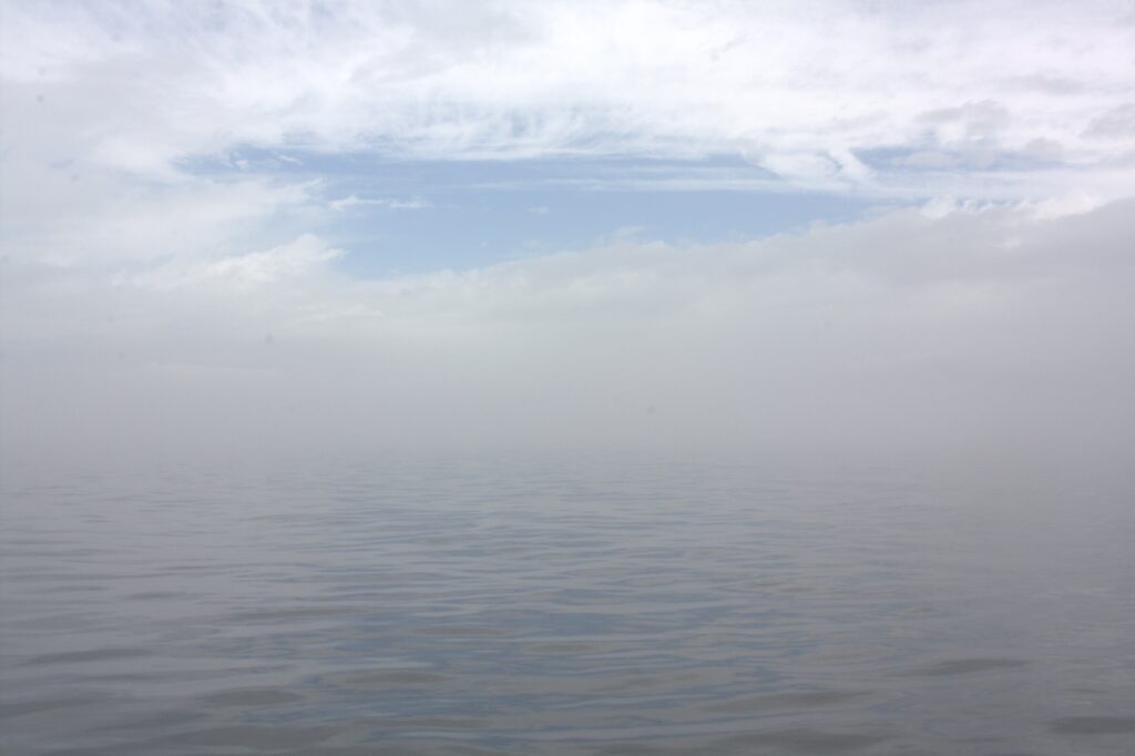
    Foggy Sailing

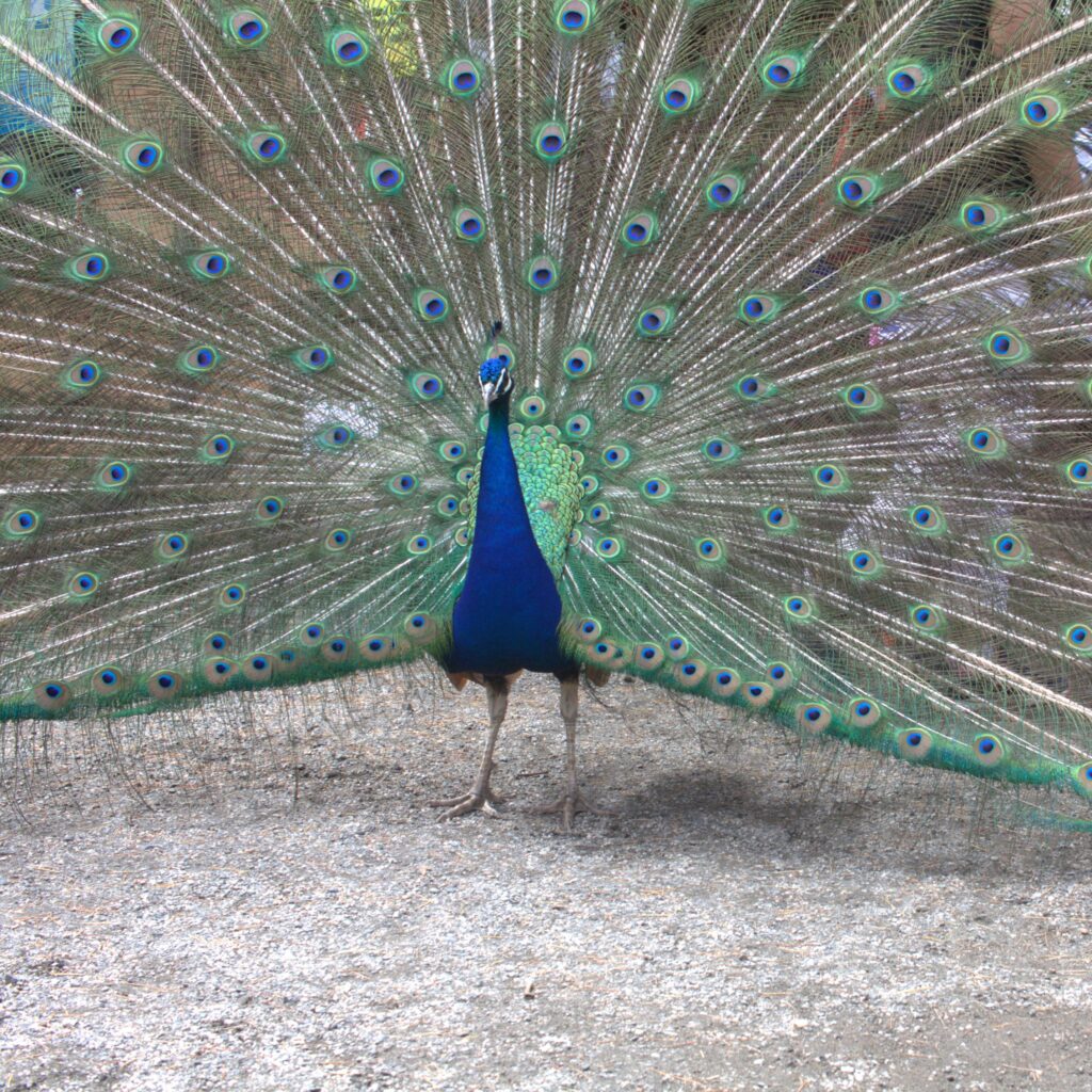
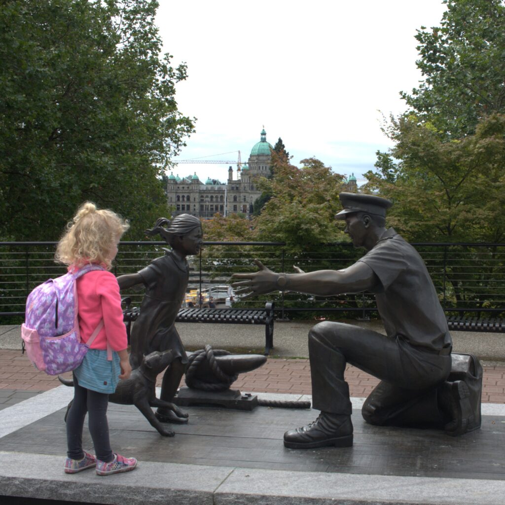
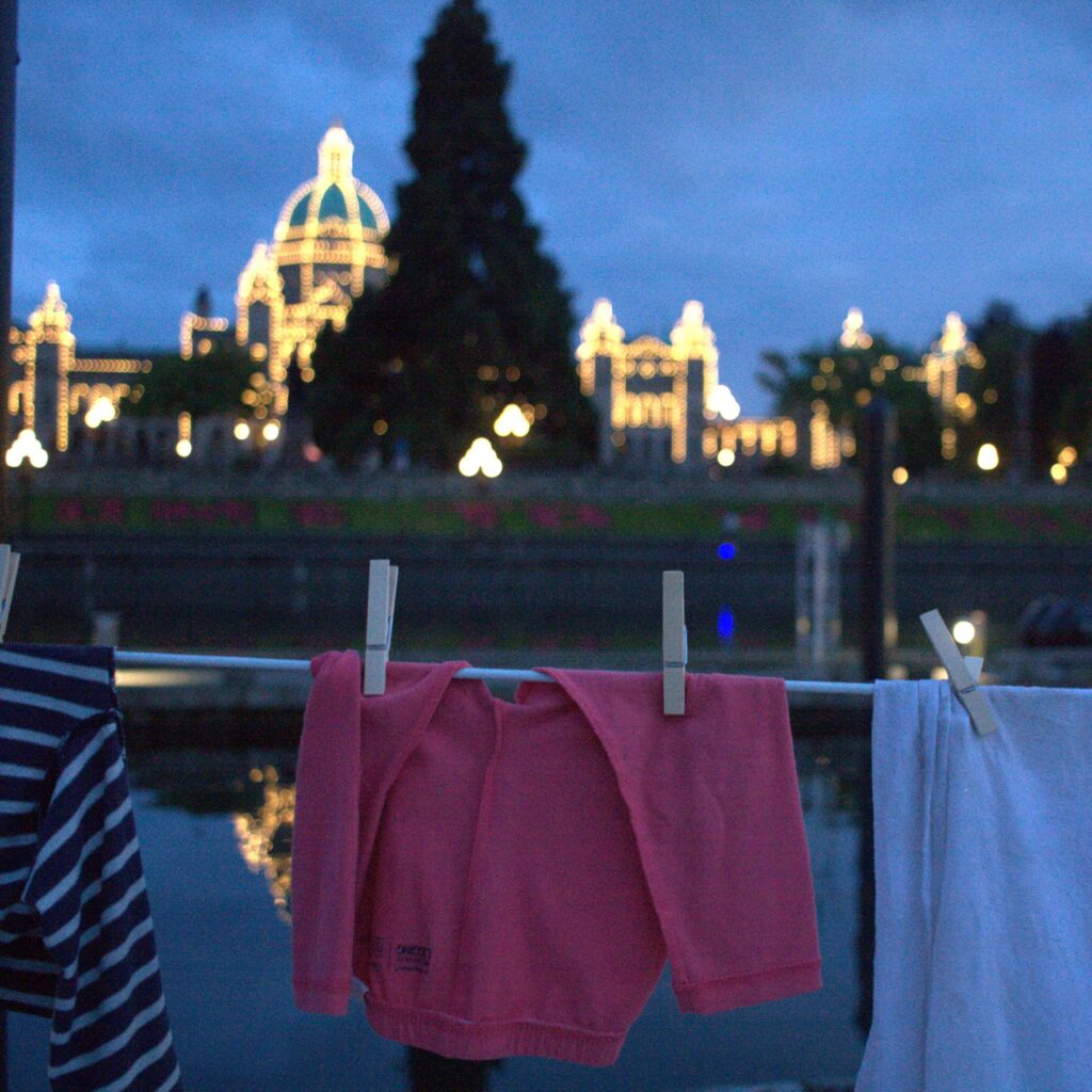
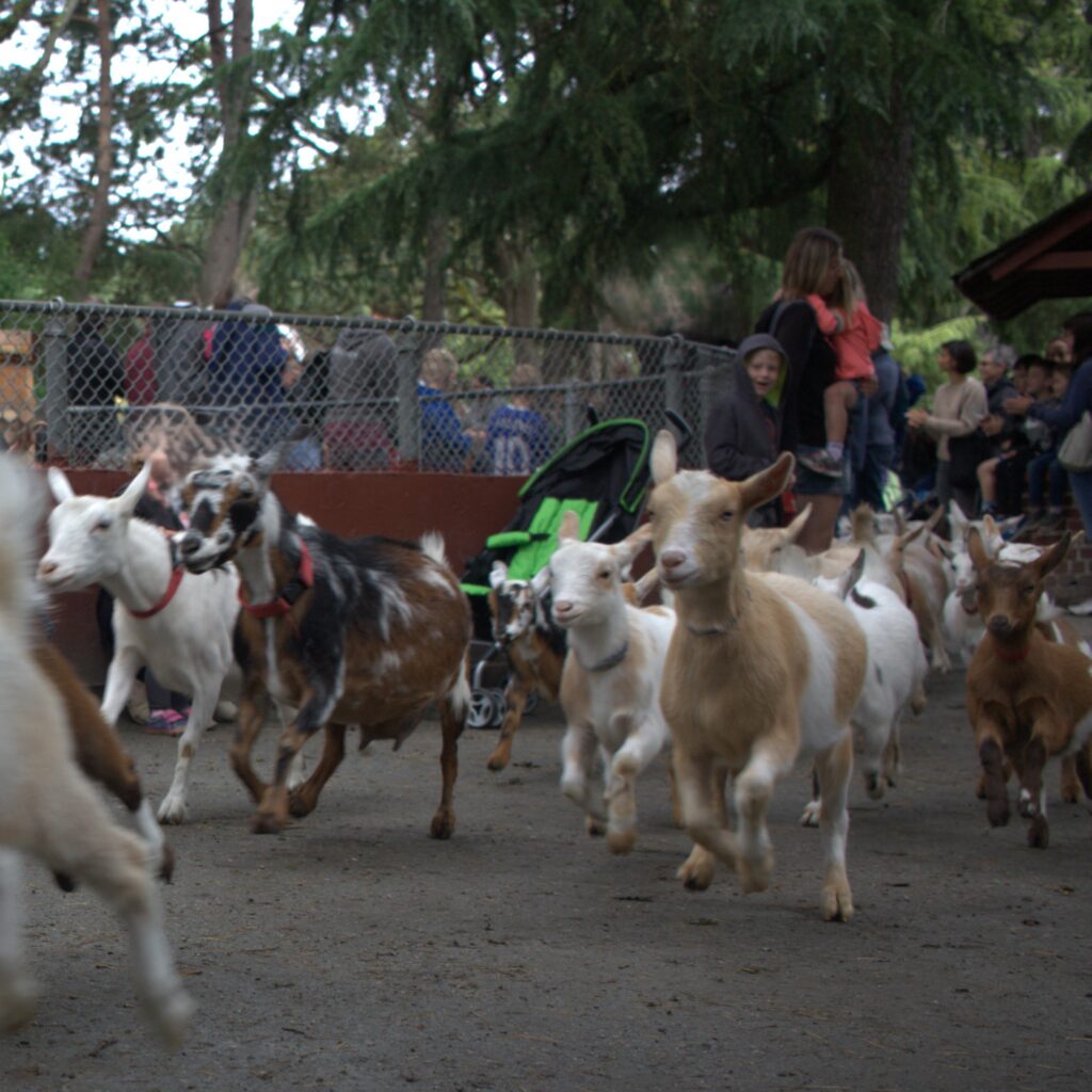
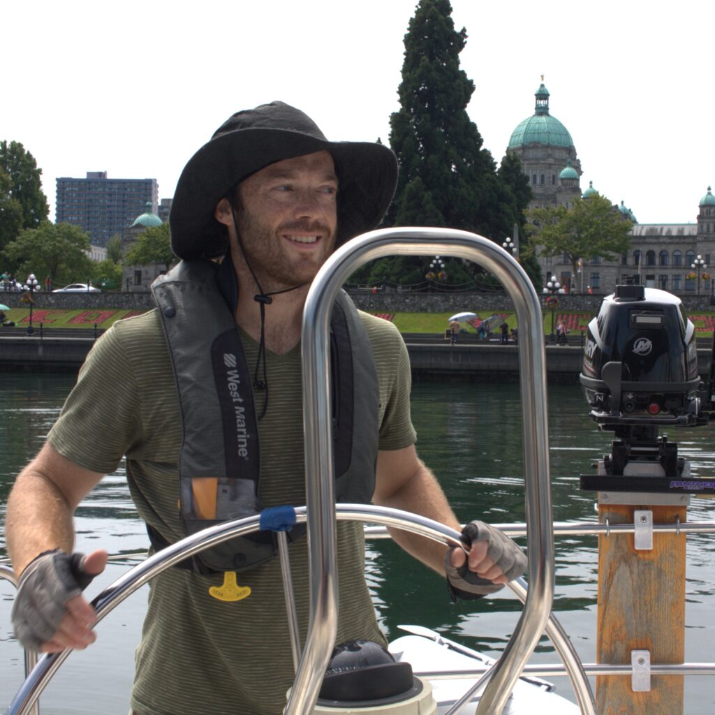
    Once docked in front of the Empress, we kicked back and enjoyed a much earned beer aboard. Then we searched for dinner and delightfully ended up at Pagliacci’s. J and I enjoyed our dinners and the kids loved their free pasta and Sherly Temples. Another favorite spot to eat on our visit was Blue Fish, Red Fish (trust us, it’s worth the line). Our trip to Victoria also included a rainy city walking tour, a visit to Phillips Brewing & Malting Co., and time with the baby goats at Beacon Hill Children’s Farm (there are also free roaming peacocks).
    From Victoria, we headed east and north through Cattle Pass to Turn Island. While heading east, we were boarded by the Coast Guard. We passed our checks thanks to K running out and buy a new fog horn that morning. Turn Island is one of our favorite spots. We had amazing views from the boat and adventures on shore. The island is small enough to hike the entire perimeter even with small children. We were unnerved at times by the cliffs but enjoyed views in every direction. We were wishing we emptied our black water in Canadian waters where doing so is allowed. The head was backing up by the time we got to our next destination.
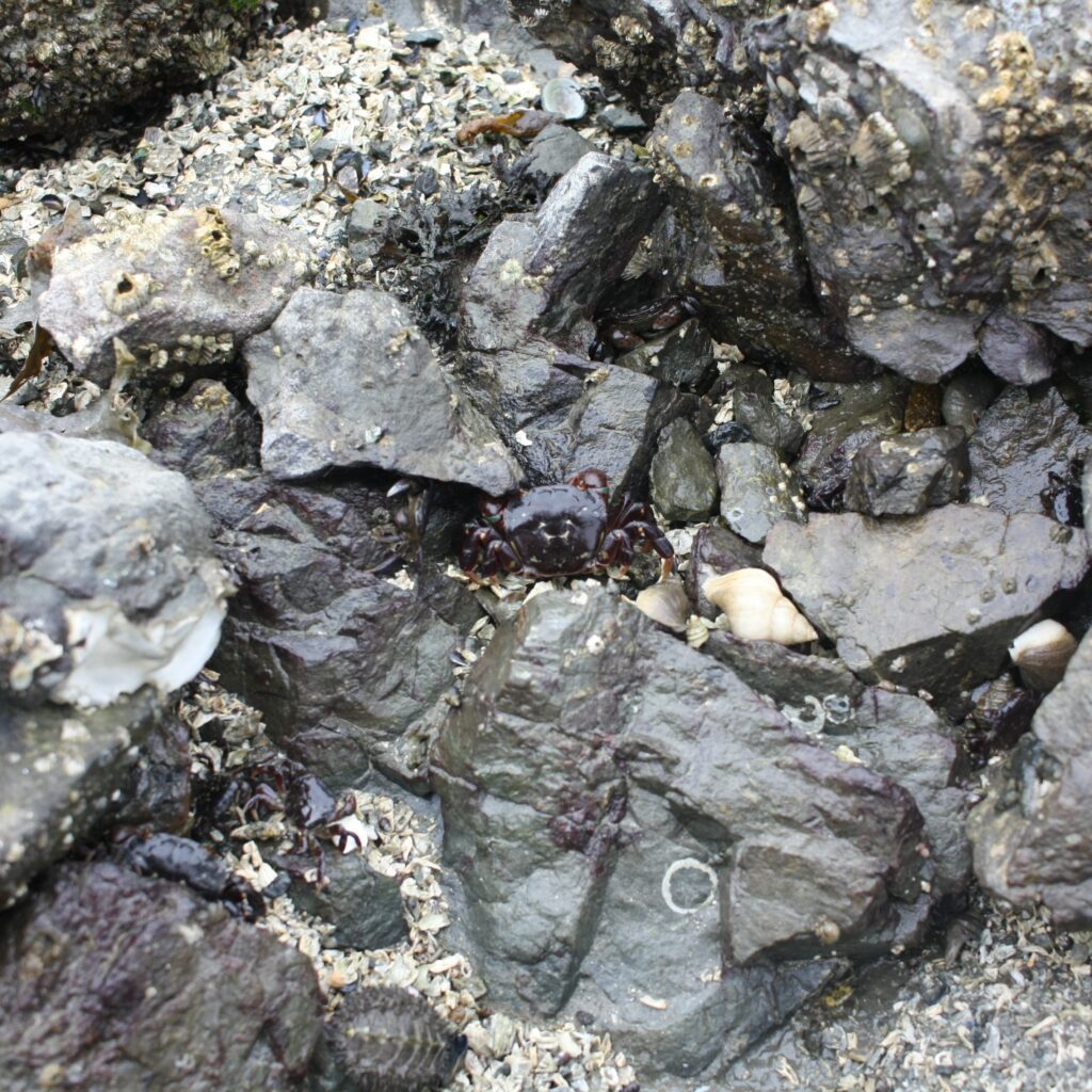
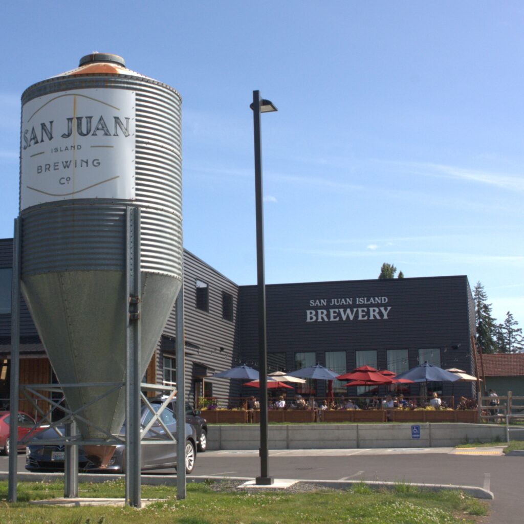
    There was not overnight space at the Friday Harbor Marina but we were able to dock for the day and run some errands and explore. And we were able to pump out before anchoring. We have a few special memories from that stop. One was our toddler crying as we departed for shore on the dingy. She feared we were leaving Ibis behind for good. Another was coming across a seal on the dock who had just given birth. We saw her again the next morning swimming with her newborn. The kids even acquired a mother seal and baby seal at the local Ace to remember the experience.

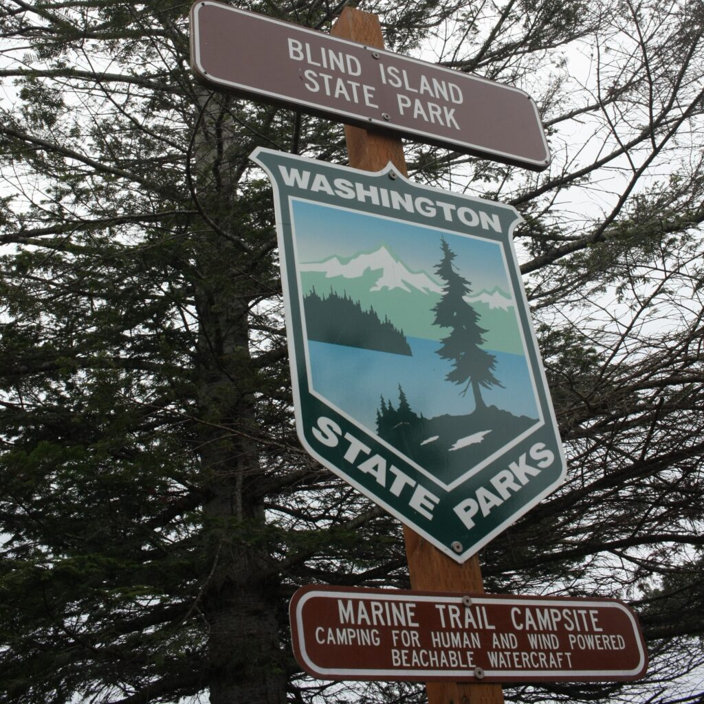
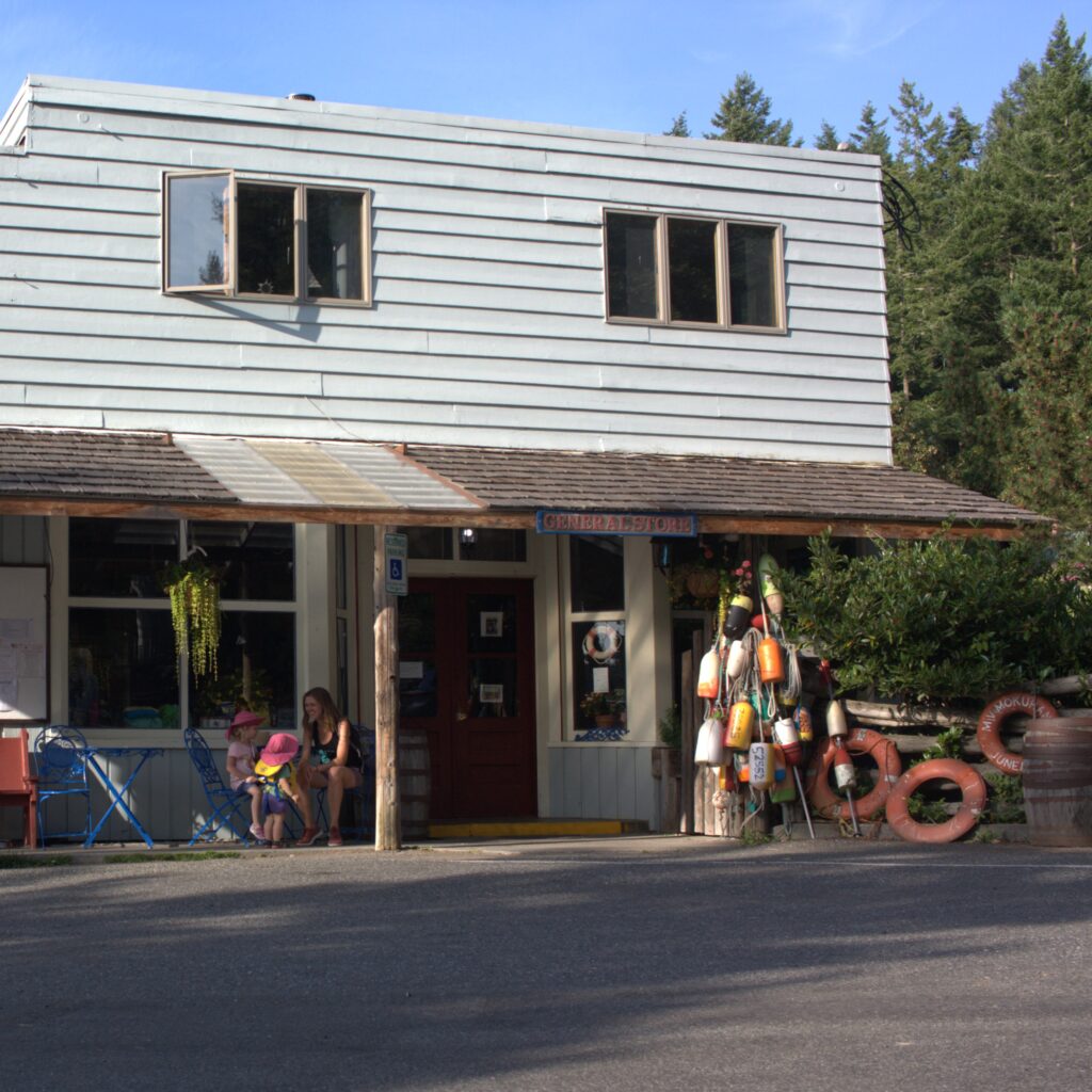
    From Friday Harbor we went to Shaw Island. We made big promises to the kids of ice cream at the general store, but they were already closed when we arrived. But we were spotted by the owner and she thought we looked like a family in need of ice cream. She opened up just to allow us to grab a pint of ice cream and spoons. While anchored at Shaw Island we managed a longer visit to the general store as well as a longer conversation with the previous owner. And we hiked all of Blind Island.
    We then continued on to Obstruction Pass Park. Here we managed to get our dingy line caught in the propeller. J was able to dive in and get it out. Sadly, we would make the mistake again the following spring with greater consequences. Luckily there was service at this location because it was Amazon Prime Day and we managed a little shopping after the kids headed to bed. We hiked in the park and played at the beach. Interestingly, you have to cross private property to access the park. The house for the property is on the water and we managed to meet one of the owners during one of our hikes.
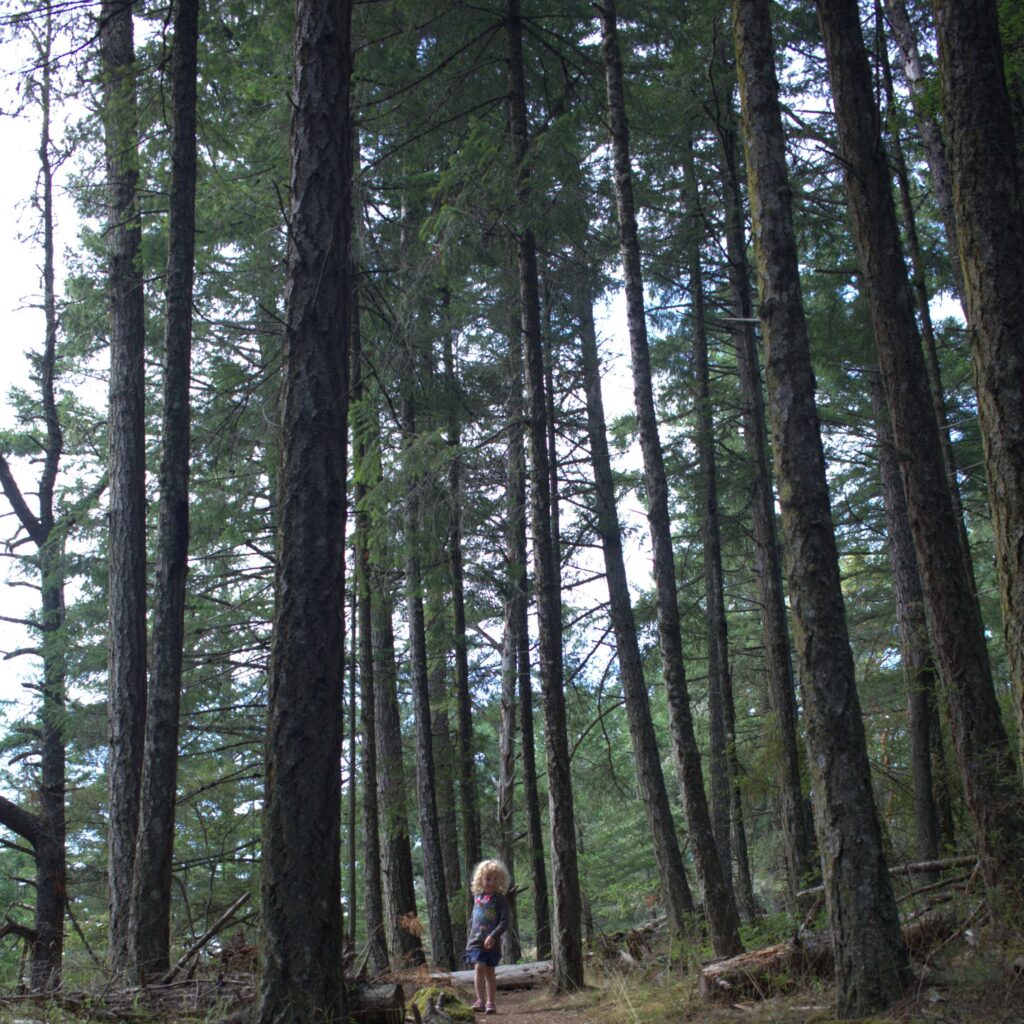
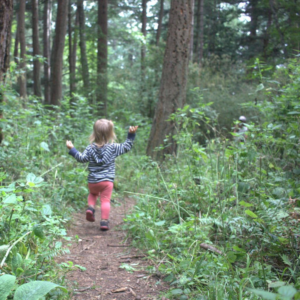
    Our next stop was Spencer Spit, a great stop for kids thanks to all the fun driftwood ashore. We initially had a mooring ball south of the spit and were dealing with some rough water. After watching our toddler have to steady herself on the potty by resting her head against the dining table, we decided to move to a ball north of the spit, where it was much calmer. We enjoyed hiking in the park, building with driftwood, and walking to the end of the spit and spotting sea creatures.
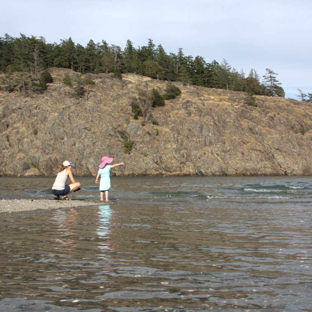
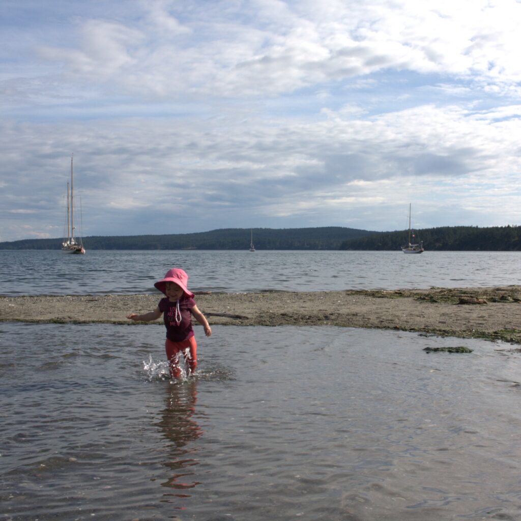
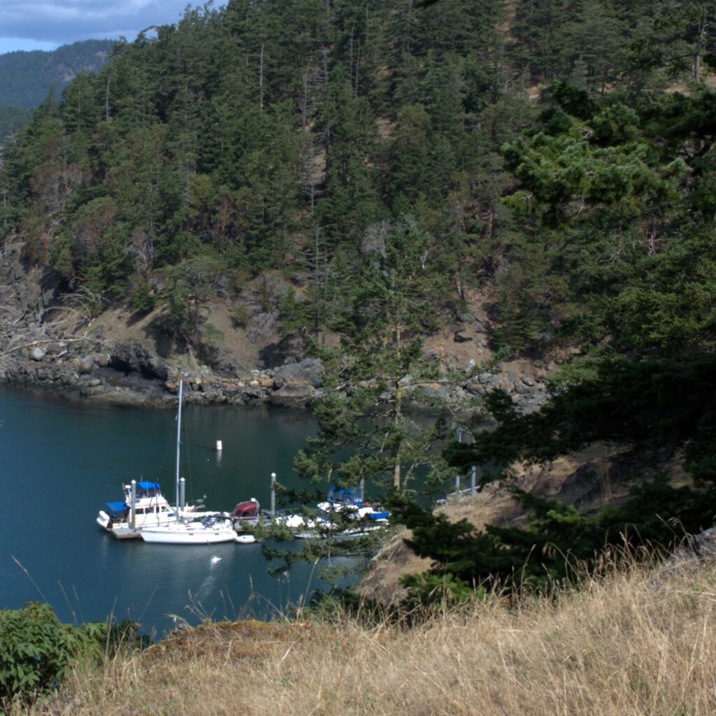
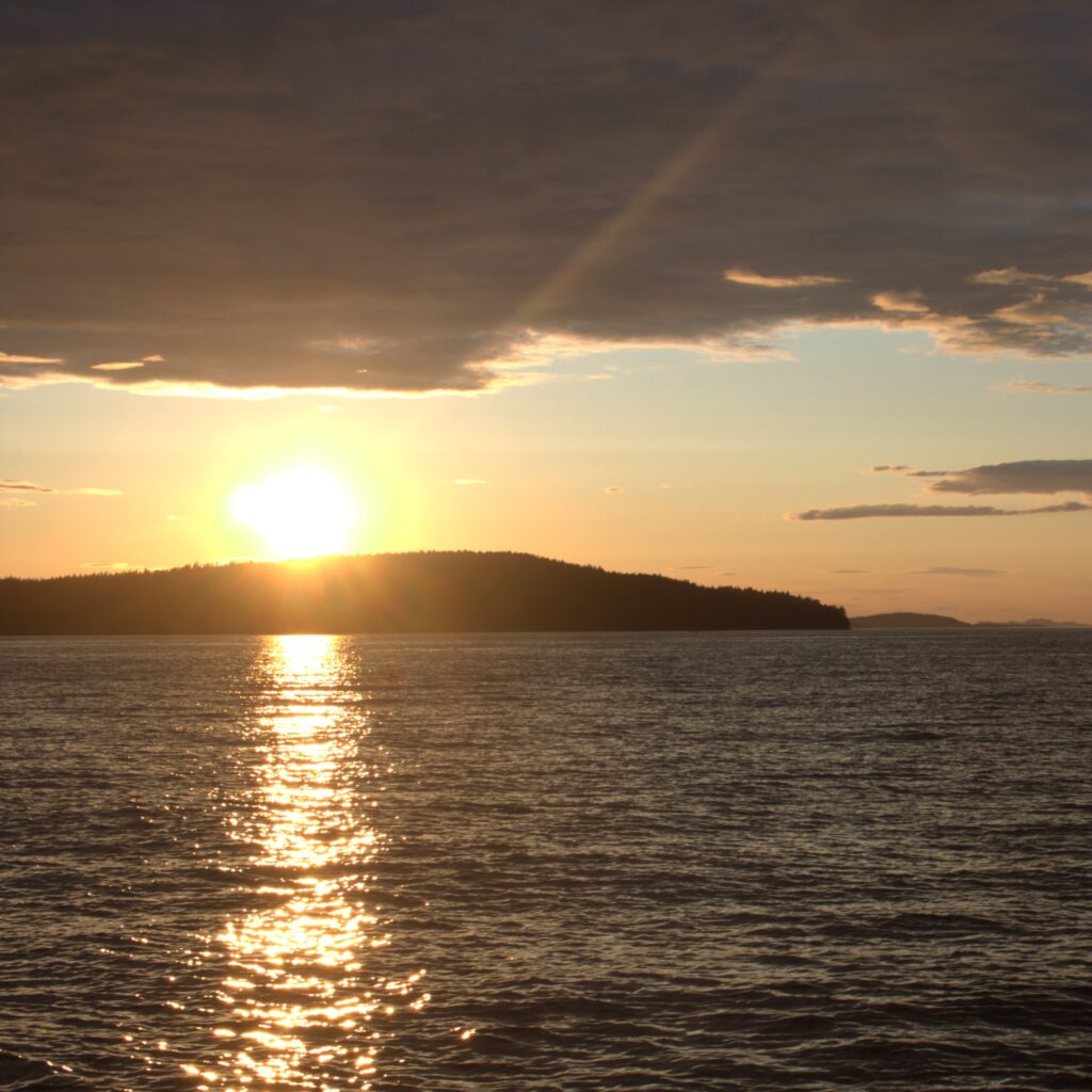
    Our last stop in the San Juan Islands was James Island. This was another big hit because it is so small and feels remote. We stayed at the dock on the west side of the island. We enjoyed hiking the island and spending time on the beach on the east side of the island. We could easily use the composting toilets and eat dinner on land but feel remote. It is so remote that one could even, in theory, hang out naked on the beach.
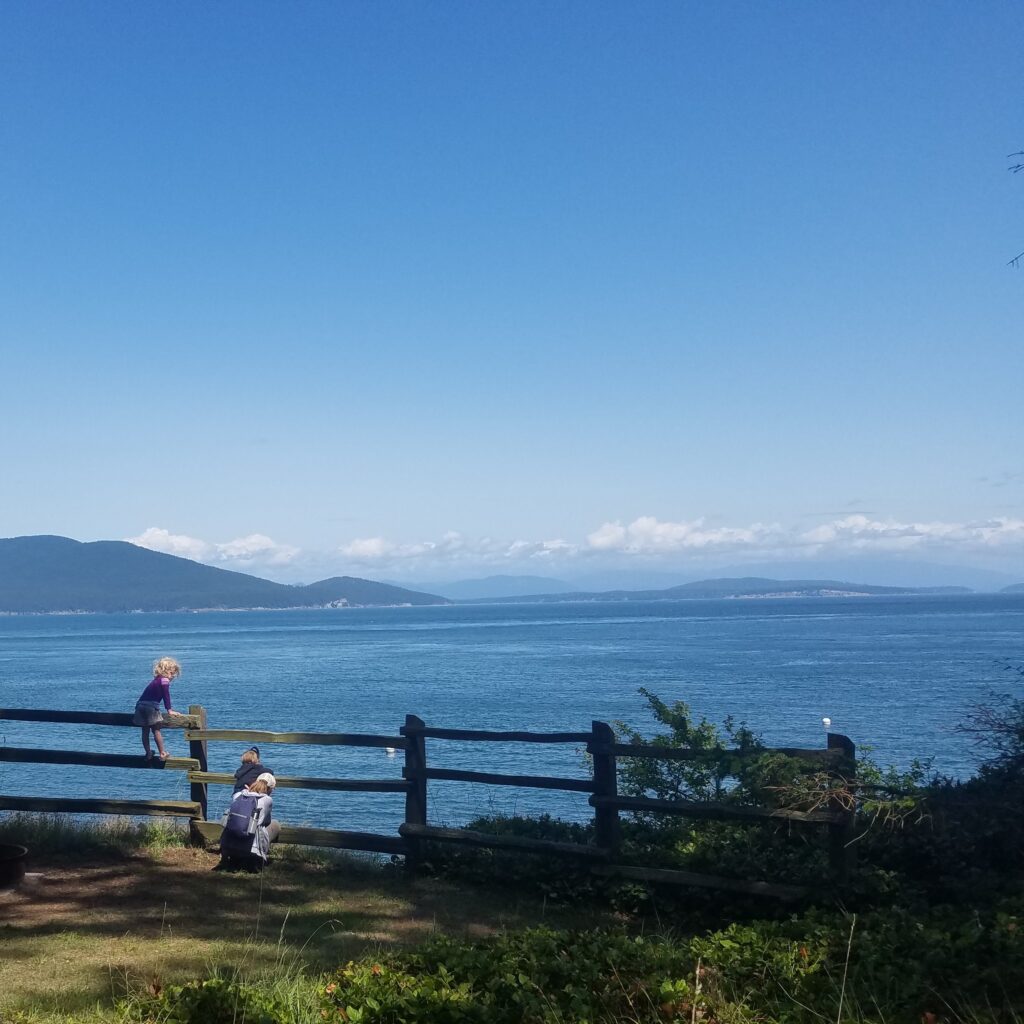
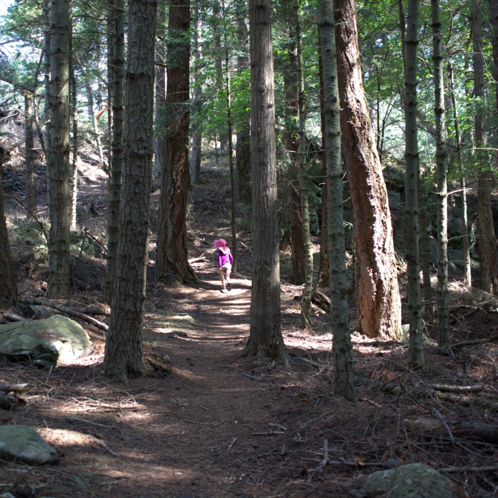
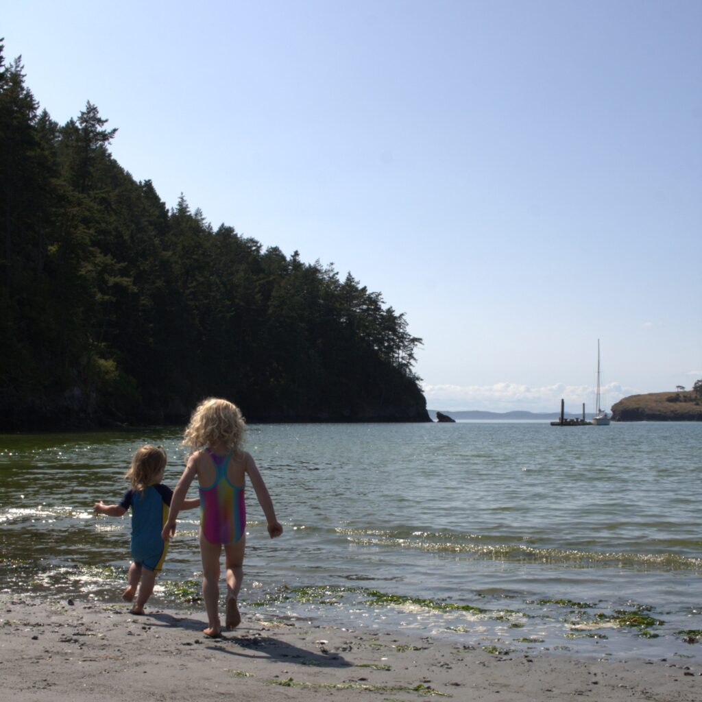
    From James Island we headed south to Seattle with stops in Bowman Bay and Port Townsend. Bowman Bay included hiking and playing at the beach and playground. We didn’t have a great experience with the marina. Their map of their office location was incorrect so we needed to check in via phone and they failed to give us codes to use the restrooms, showers, and laundry (making chores very difficult that evening). But we did enjoy going into town to eat out and walk around. And the next morning we grabbed coffee at Better Living Through Coffee and spent time on the beach just behind the coffee shop. Of course our kids wound up taking their clothes off and splashing in the water.
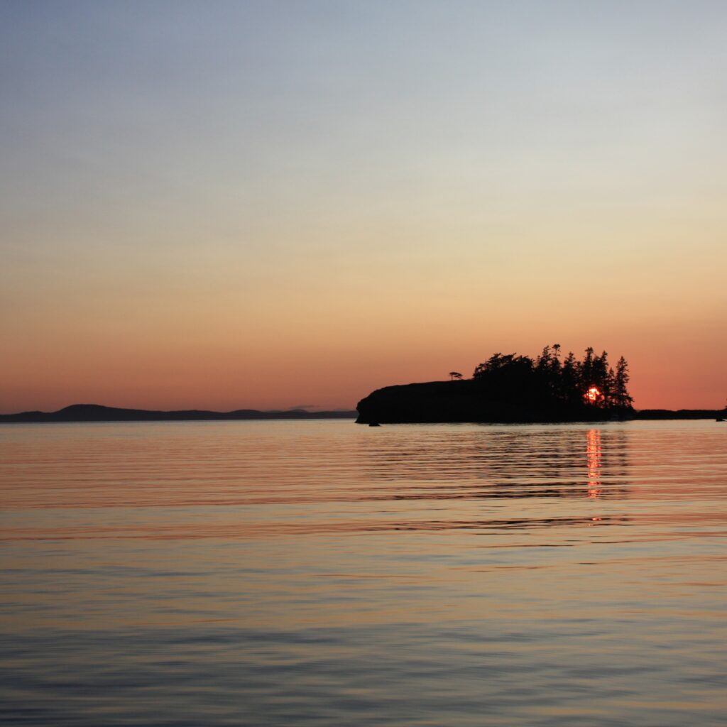
    We originally planned one more stop enroute to Seattle but realized that one long run made more sense. We put the kids down while underway and stayed the night in our new marina. It was strange stepping off the boat the next morning to head home. We felt ready to go home but comfortable and excited for future adventures aboard Ibis. At the moment, we didn’t know our next trip to the San Juans would be two years later and with another child aboard.
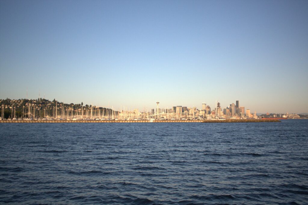
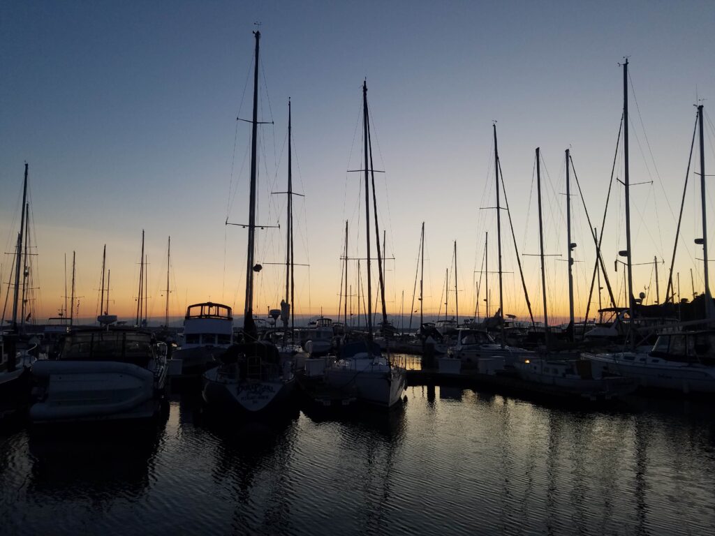
    A little follow up on our trip. Remember how we left the car at a train station? I took a train up to get the car a few days later with the kids and my mom visiting from Texas. The night before, J and I laughed at the idea that I would get to Bellingham and not have the car key. About thirty minutes into the bus ride, I realized I forgot the car key. After multiple calls and running around town, J managed to get the car key in a package on a bus with a stop at the train station in Bellingham. The kids, my mom, and I walked around and got dinner and made sure to be ready to receive our package. Even then, the driver said we had to get the package from the office, which was closed, and so we would have to wait until morning. With begging on my part and my mother clearly about to rip the package out of his hands, he handed the package over and we made our way home. It was one of those experiences that makes you cry in the moment and laugh later (much, much later).
  • Tiger Mountain

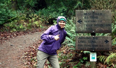
    This particular weekend we woke up wanting to go for a hike, but without the motivation to drive out to the Cascades. So we settled on Tiger mountain, near Issaquah, both because of proximity and because the elevation changes meet our requirements of “a hike”. The trail head lies near another two past hikes, Poo Poo Point (don’t follow our winding route!), and Anti-Aircraft Ridge. We hiked all three, including Tiger #3, during mid-Fall. We must become homebodies as the daylight wanes. We set off on the standard West Tiger #3 trail from the trailhead, speeding through the flat, broad runway just west of the nature preserve. The trail quickly thinned off and we began a brisk climb up the face of Tiger. We passed many unmarked offshoots for the Cable Trail, but stuck to the primary trail. Despite being close to Seattle, the trail was near-empty and we enjoyed long patches of solitude. There was a thick fog that hugged the middle of the mountain and we spent half the hike moving through this gray mist.

    The intersections with the Cable trail occurred more frequently near the top as both trails leveled off and began running near parallel. There was a small, abandoned camp to the right of the trails under the protection of some trees, about a hundred yards from the peak. Although banned, there is evidence that people camp here. The peak matched its description, and grew thick with evergreens. This old growth survived the logging boom, and differed mostly in denseness from the forest on the trail. The clearing provided a couple of rocks to rest and eat, and some friendly birds fluttered on the edges, flying in to eat bread from hikers.

    We looped down using a different, unmaintained trail. It starts a couple hundred feet down the cable trail on the left. It’s not marked, but clear-trodden and descends quickly. The mud underfoot and persistent moisture from the fog made it slow going. We intersected another trail that led to Poo Poo Point, but continued our steep descent. Eventually we found the Notch Trail, which was wider, more level, and drained better. We picked up speed and quickly reached the nature preserve, as well as another motivation for choosing this hike: the abandoned bus. From there we quickly made it back to the car, with plenty of time for an early dinner.

    Our loop around Tiger #3 revealed a small portion of the mountain. Supposedly, fifty miles of trails cross the face, including a trail, which we plan to do hike, that connects the three summits. The history of the mountain brings modern artifacts into the forest in odd, puzzling ways. This trail included the abandoned bus, but there are remnants of logging, mining and train crashes on other parts of the mountain. The trails will obviously clog in the warmer months, but while the winter cold and fog keep fair-weather hikers out, we’ll be back.

  • Our first overnight sail

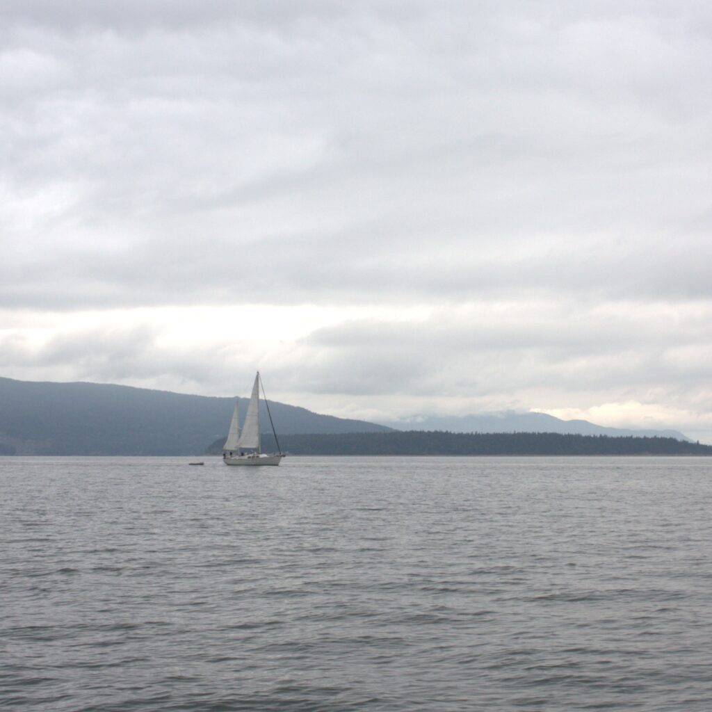
    A Ketch and the Olympic mountains
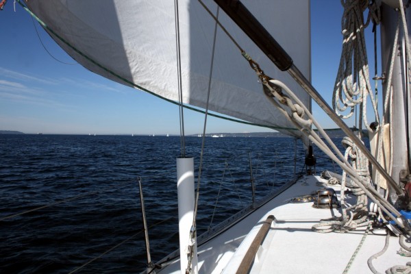
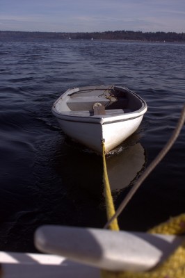
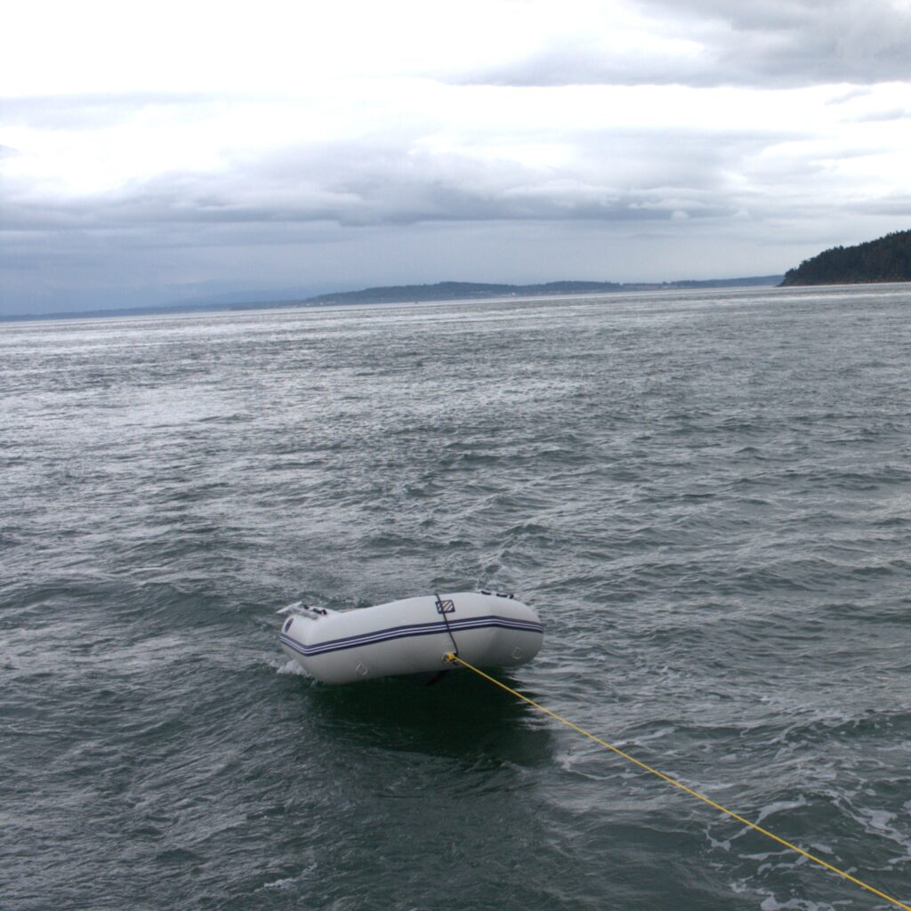
    We cast off from Shilshole Oct 5th around noon to embark on our first overnight sail aboard Whisper. Our itinerary had us sailing to Bainbridge for lunch and continuing on to Blake Island. Blake Island appealed to us as a good first overnight, because of its isolation and lack of land access. The small marina had us worried, so we figured out how to tow the small, wet dinghy behind us using the port cleat above the transom.

    We reviewed plenty of charts and field reports the night before sailing. This is quite in contrast from our day sails, where we’re familiar with the waters and obstacles. We spent some extra effort in planning the route we would take to cross the VTS lanes the quickest, which easily added an extra hour to the trip. After that, we paid attention to the narrow channels and shallow waters surrounding Bainbridge and Blake. It’s almost unheard of to worry about depth near Shilshole, where the water quickly reaches several hundred fathoms.

    Low winds prevented us from traveling as fast as planned, but the unusually sunny day easily made up for it. The leg to Bainbridge, which was supposed to take an hour, took close to three hours. Luckily, it was three hours spent in sun and solitude. As we neared the shoal hutting from the northern entrance of Eagle Harbor, we decided to spend the night at Bainbridge.

    We spent the remainder of the evening meandering around downtown Winslow and tasting wine at Eleven Winery. We enjoyed grilled squash and veggie burgers on the boat before settling down in the V-berth for the night. The boat felt like a camper and was just about as solid. There was no rocking and we didn’t feel the tide at all.

    On Sunday we packed up, took a short walk, enjoyed coffee at Roosters Cafe, and then left Eagle harbor. It was easier to leave than to enter, although we had to time our exit plan around the ferry. It’s fun to see the people on the ferry looking down at Whisper. I used to stand on the ferry and wonder who the people were that were sailing around. The winds were great for the return journey, quickly pushing us back to Shilshole at 5 knots.

  • Twisp Pass – South Pass

    We spent Labor Day weekend in 2012 hiking the 25.4 miles Twisp Pass – South Pass route from Backpacking Washington by Craig Romano. We arrived late Saturday, which meant we were unable to pick up our back country permit in Marblemount. Labor Day is a horrible time to forget your permits, because the rangers roam the heads of trails like hungry wolves.

    A late start on Saturday put us behind in reaching the first campsite, which is about four and a half miles into the hike. This resulted in some some hiking with headlamps and fruitless hunting for an early camp. We established a campsite in a small flat clearing to the side of the trail with easy access to fresh water. There was no sign and just a light deer trail to the clearing. It was deep enough that we didn’t meet any day hikers while stepping out of our tent the next day.

    The next day we woke up with some instant coffee and oatmeal, refilled our water, and packed up camp. Our hike towards McAlester Lake started off well, meandering through several passes and meadows with wildflowers abloom. Several better campsites with water access are located along this section about eight miles southwest of South Creek Campground. One of these, Fireweed Camp, is located in the North Cascades National Park, which means different requirements for backcountry permits.

    Near Fireweed camp we took a jaunt east for an arduous 3.3 miles uphill. The description in the guides neglects to stress the steepness of this never-ending climb through wilderness and clear-cutting. After leveling off and hiking through a couple sections of clear-cut trees (at least in 2012), we came across Dagger Lake and made camp. There was another couple here that seemed much better prepared for the cool evenings, with a fire roaring and heavy down jackets. No doubt they’d been at the camp site for a few hours. This site has two advantages over the other camp sites we passed: a location for tying up pack animals and a wooden throne.

    The final day we hiked three miles to a tree trunk bridge over the merging of south and north forks of the Twisp River. We developed a false sense of being near the end of the trail when we came upon a gravel parking lot about seven miles further, approximately where Road’s End Campground should have been located. The trail indicators disappeared at the intersection of 4440 and the trail, and we followed our compass east (left) along the gravel road until we saw trail 440 on the left hand side. This picked back up the trail, and followed relatively close to the road until we came upon our car.

    Our drive to Twisp Pass took us through some scenic country (the North Cascades National Park and Winthrop), and we loved hiking the loop from Twisp to South pass. The hardest parts of this trip were not leaving enough time to pick up permits the day of our trip and not hiking enough the first day. The shortened hiking schedule forced us to pick up the slack on the second day, which in turn impacted our endurance on the final day. We love loops because there’s no backtracking, but they also remove the capability for an early return. We welcomed the return to civilization when we arrived at that first gas station and rested our blistered feet.

  • Cougar Lakes

    We spent Labor Day weekend in 2011 hiking from Chinook Pass to the Cougar Lakes and back. We followed the Cougar Lakes and Three Lakes route from Backpacking Washington by Craig Romano.

    We hiked the 10 miles to Little Cougar Lake on the first day. The trail was initially congested with day hikers but the trail is soon nearly empty with only backpackers. Many were only hiking as Dewey Lake at about 3 miles. On our way to Cougar Lakes, we met a nice older gentleman with an umbrella and a pistol. We also met a llama that was lost but luckily found by his owner.

    We were one of three tents at Little Cougar Lake and there was plenty of campsites for each group. However, we only saw one camping spot with a fire ring. We enjoyed relaxing near the water and only dared to dip our feet in given the water was freezing.

    Since the hike to the lakes was not strenuous, we took the alternative route back to the PCT in the morning. Romano described this route as a “rougher, shorter, highly scenic, more adventurous route back to the PCT.” His description did not understate the difficulty or the beauty of this alternate path. We found ourselves walking directly up the mountain along a dried spring without switchbacks. There were times we were certain we lost the path but the climb was rewarded with this view of the Cougar Lakes.

    We were ecstatic to come across the notice that we were in the Mount Rainier National Park, because we then knew we were on a trail and would make it back home.

    Once we were back on the PCT, we headed back while taking in views of Mount Rainier. We spent our second night on Dewey Lake, which was much more congested than Little Cougar Lake but not too crowded to find a good spot near the lake. Dewey Lake is beautiful, cold, and worth spending some time near before heading home. Being Dewey Lake is a shorter hike from the tail head, there were multiple families with younger children spending the weekend there.

    After a night at Dewey Lake, we had a short hike back up to the car (a short elevation climb of about 5150 ft). By the end of the hike, we were dirty, tired, and had amazing pictures to treasure.