Our first big adventure aboard Ibis 2019
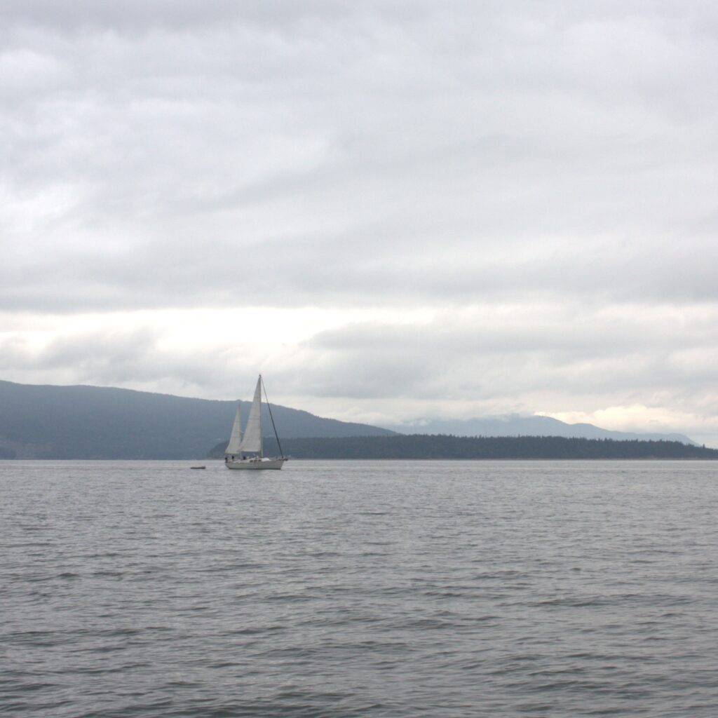
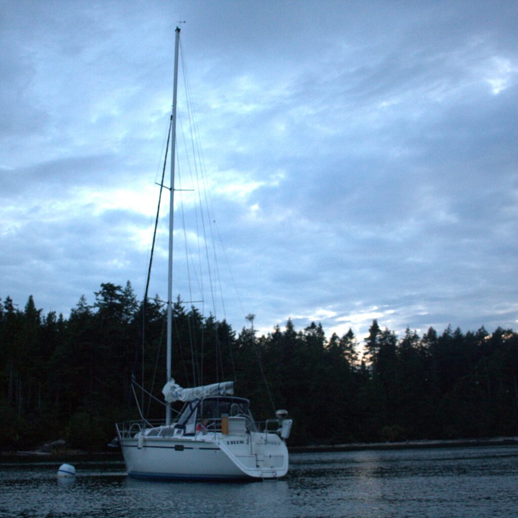
During the summer of 2019, we finally pursued a long held dream. We sailed the San Juan Islands. We departed from Bellingham, where we acquired Ibis the previous fall. Our sail took us west through the San Juans to Vancouver Island, eastward to James Island, and then south to Seattle. Last minute prepping and the first day aboard had us questioning our idea of a vacation with young children. Is sailing really that enjoyable with two young children? By the end of the trip, we felt more assured than ever that this is the life for our little family. And that we have much to learn.
We spent a few days in Bellingham prepping for our trip and celebrating the 4th of July. Due to the location of our marina, we were able to wake up our four year old and have her join us on deck for the fireworks. She was enthralled at the time but did not remember the experience the next morning.
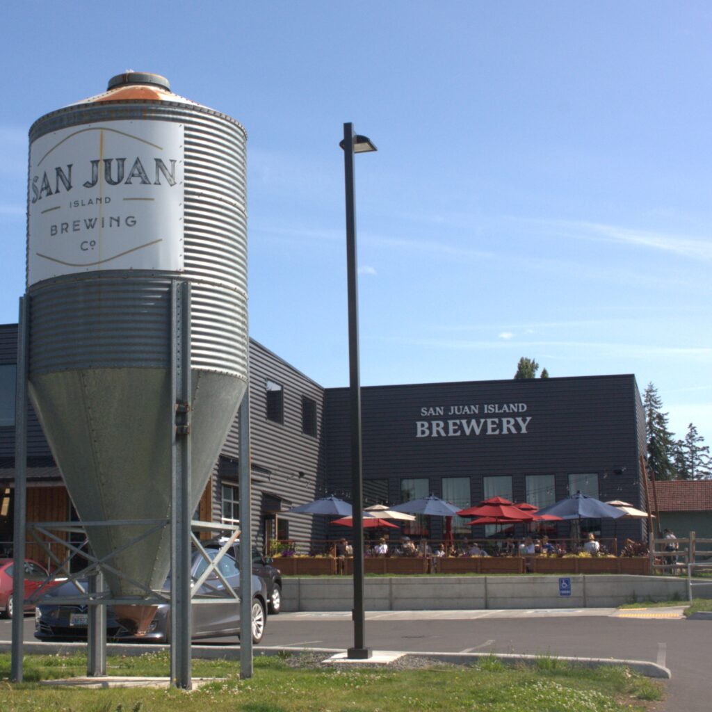
We were concerned about leaving our car in the public lot next to the marina so we checked her in at the train station’s long term parking. Some packing supplies were left in the car and we departed Bellingham aboard Ibis. Our first day aboard we motored much of the way. We first tried staying at Matia Island. The small Rolfe Cove is cozy and inviting but there was not room for us. We headed over to Sucia Island where we found a mooring ball. Luckily we read about San Juan Island mooring balls the night before or we would have been caught off guard by the setup. Deep in Echo Bay, we were starting to feel good about our adventure. Sucia Island is popular with boaters and campers. We felt isolated and social. We met campers and their dogs. We enjoyed hiking and beach time with the kids. And each grown up had their own adventurous run on land.
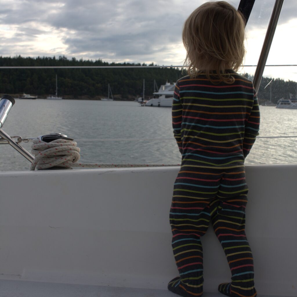
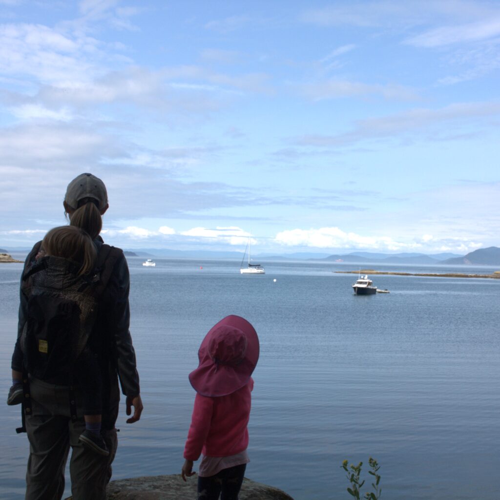
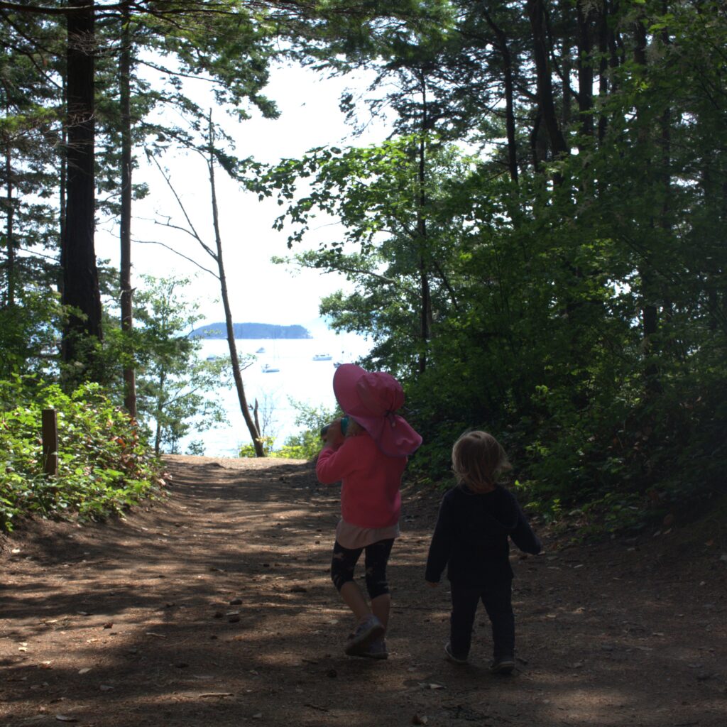
From Sucia, we headed to Roche Harbor. It was probably our least favorite spot but worth visiting. We stayed at the marina for the amenities offered but we would have had access to the coin showers and laundry even if anchoring. We did use our free access to the pool, which included a free shower. We enjoyed hiking around the resort and went on an adventure to the Mausoleum. We also got to see a wedding, eat dinner out, and enjoy ice cream and donuts. Ice cream is an extra special treat when staying on a sailboat with an icebox.
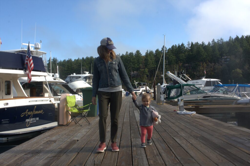
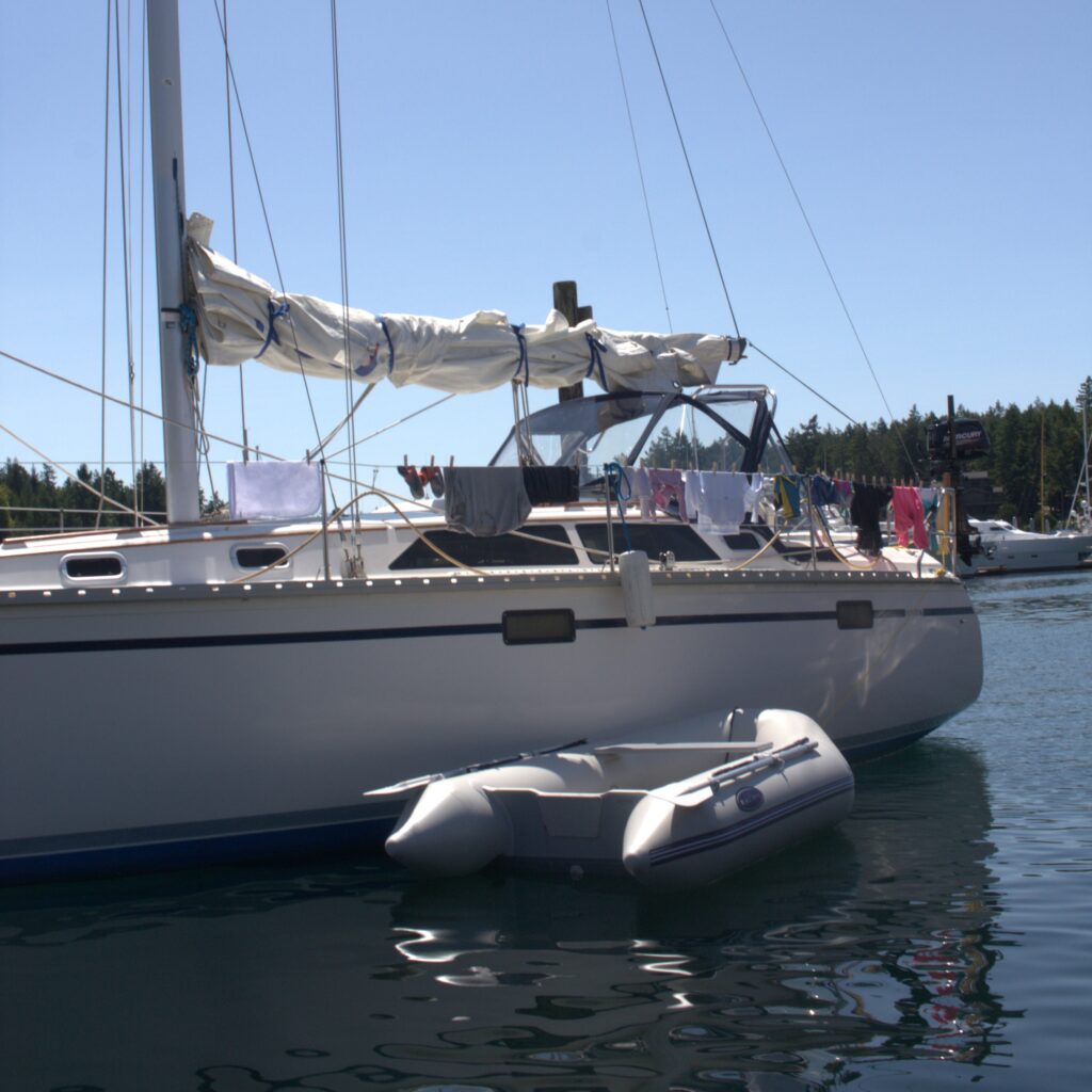
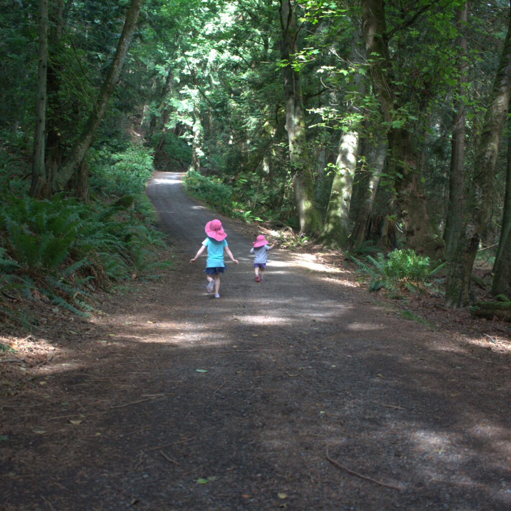
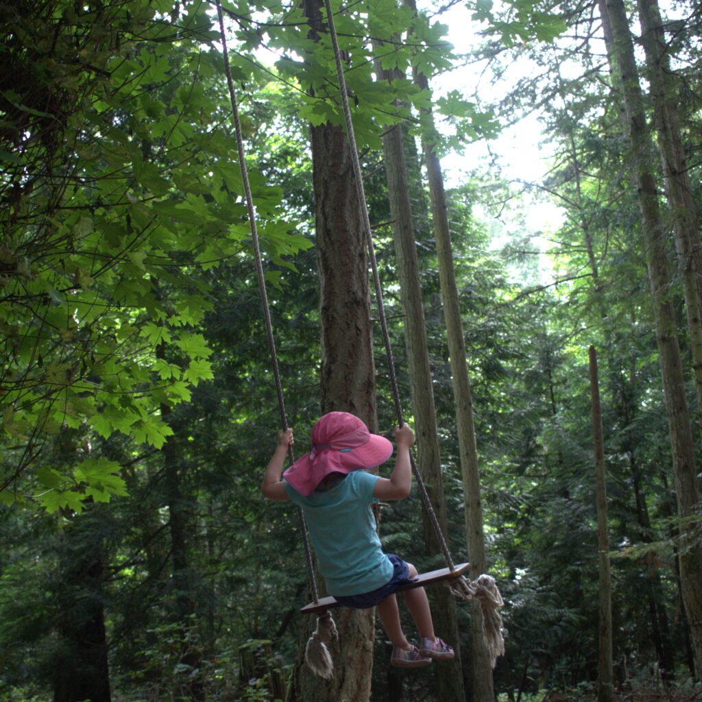
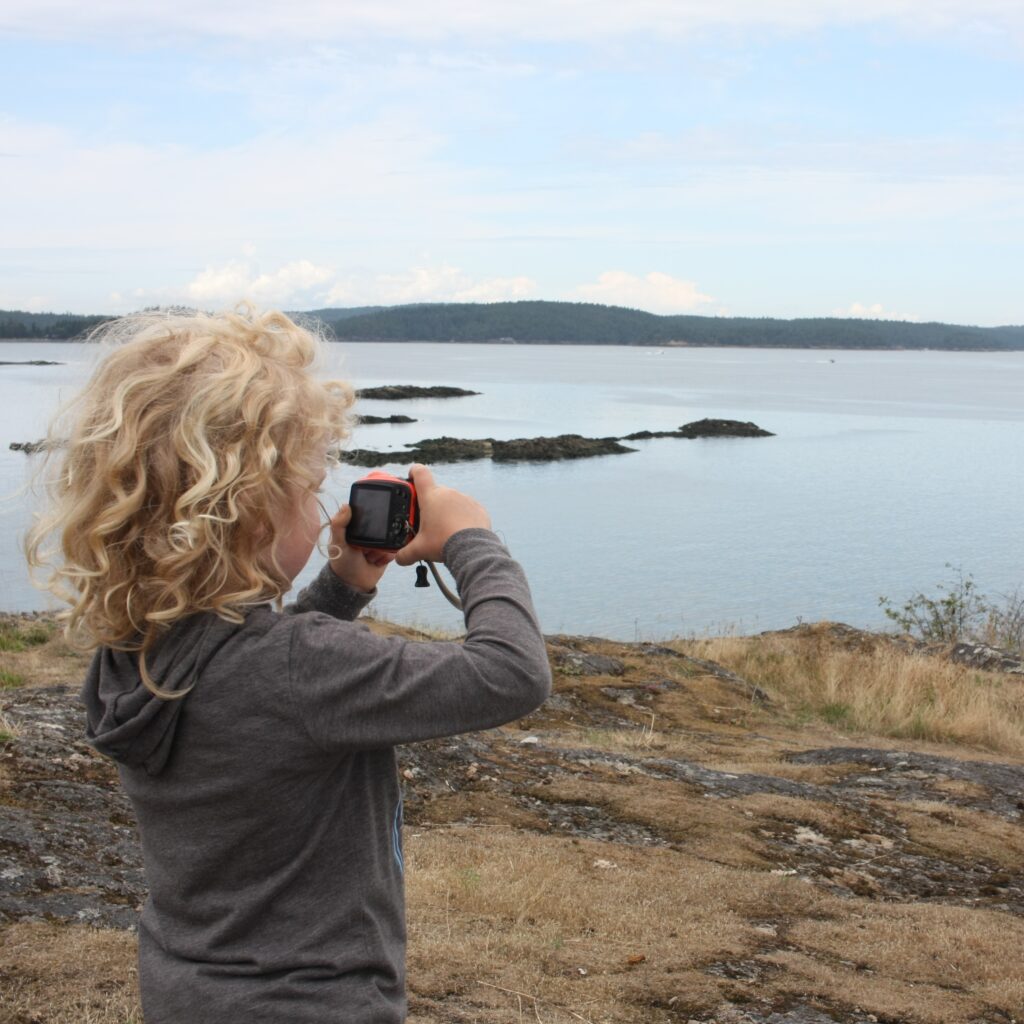
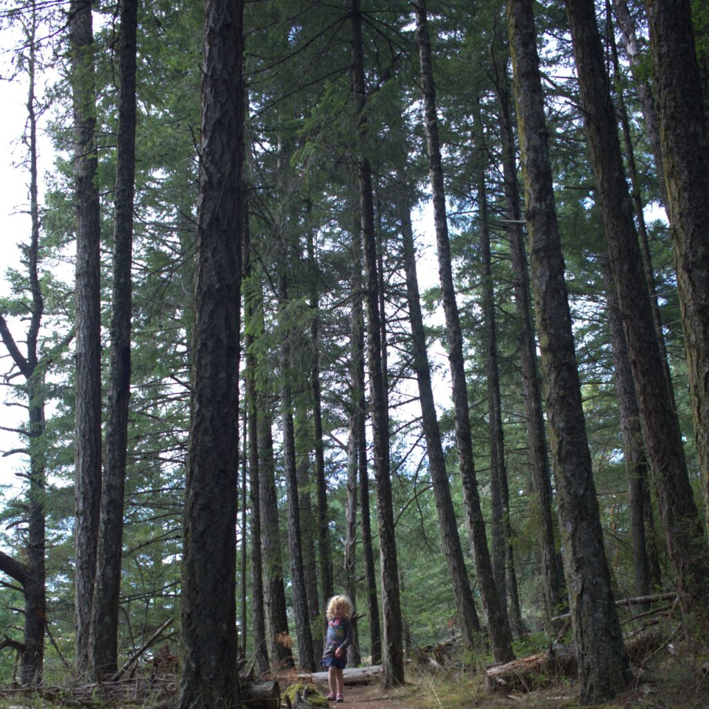
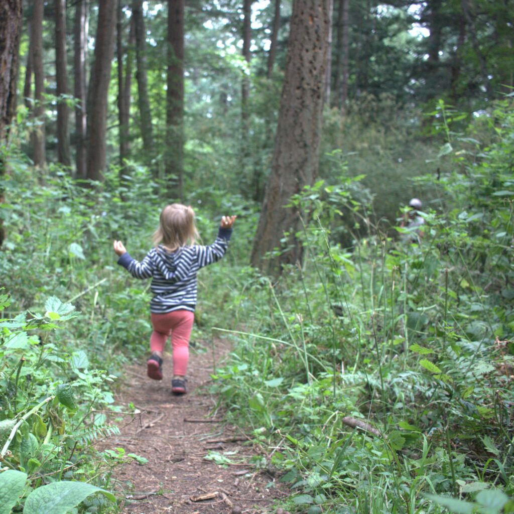
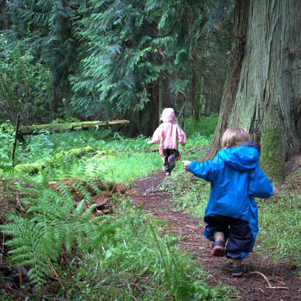
From Roche Harbor, we headed to Stuart Island where we scored another mooring ball in Reid Harbor. It felt isolated despite the handful of boats in the bay. Our first day we did a one mile hike that took about an hour with the kids. It involved rocks, cliffs, and many opportunities for the eldest to take pictures with “her” digital camera. Our visit to Stuart Island also included playing in the woods and on the beach. And we made the trek to the old school where the kids were rewarded with shirts from the treasure box. We peaked into the school windows, played basketball on the court, and learned the island’s history in the small library. J also managed a run to the lighthouse. It is hard to describe why but we all found the visit to Stuart magical. It may just be because we needed a boat to get there.
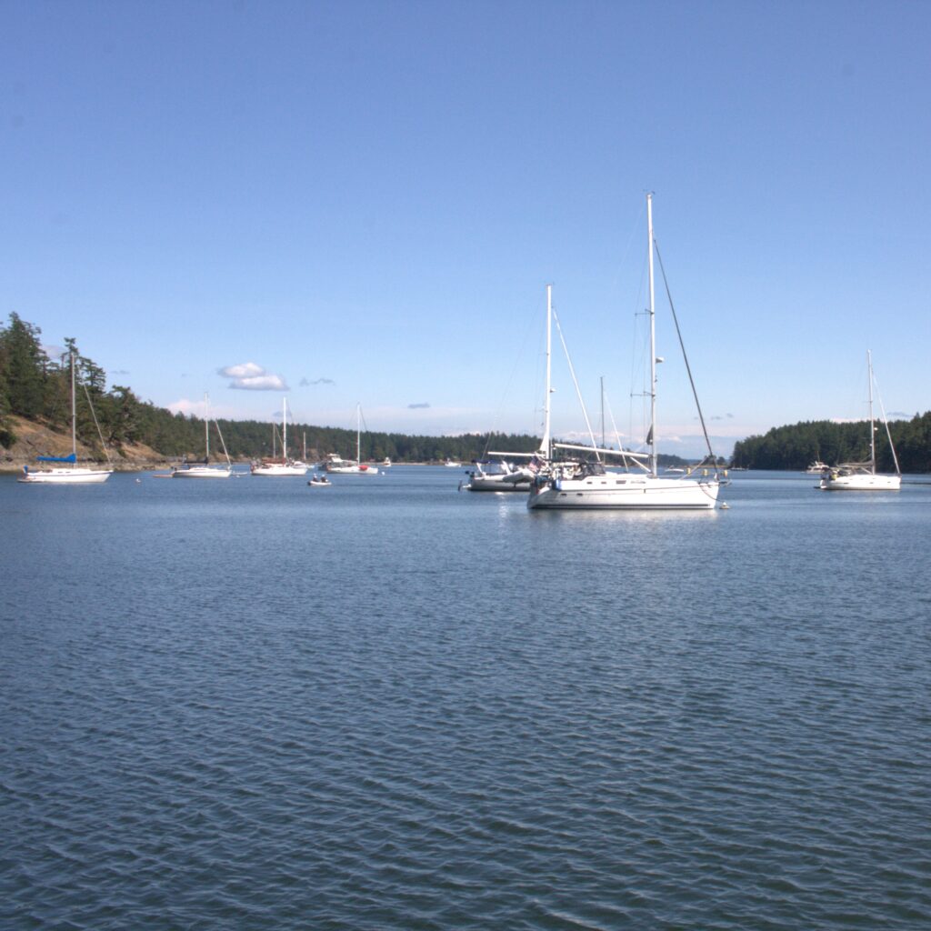
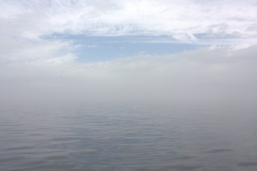
Departing Stuart was unnerving. It was foggy but we thought we would have visibility once we left the cove. We did not. By the time we realized how unsafe the conditions were, it made sense to keep moving forward. We relied largely on our Navionics app to know where we were and sailed according to the compass. Since we do not have radar, we also blew our horn every three minutes. The scariest moment was probably when a mega yacht motored just past us (we later saw them at our destination). Eventually we escaped the fog, and the rest of the way to Vancouver Island was mostly uneventful. The only issue we ran into was docking at the marina before customs (we thought custom was available at the marina). We departed the marina, visited customs, and returned.
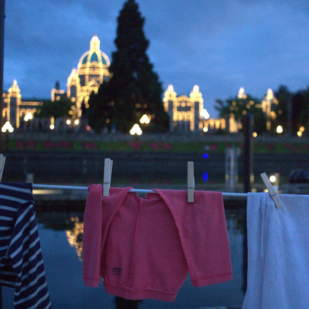
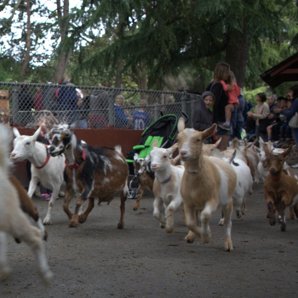
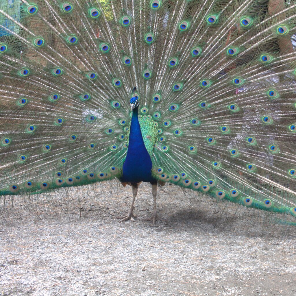
Once docked in front of the Empress, we kicked back and enjoyed a much earned beer aboard. Then we searched for dinner and delightfully ended up at Pagliacci’s. J and I enjoyed our dinners and the kids loved their free pasta and Sherly Temples. Another favorite spot to eat on our visit was Blue Fish, Red Fish (trust us, it’s worth the line). Our trip to Victoria also included a rainy city walking tour, a visit to Phillips Brewing & Malting Co., and time with the baby goats at Beacon Hill Children’s Farm (there are also free roaming peacocks).
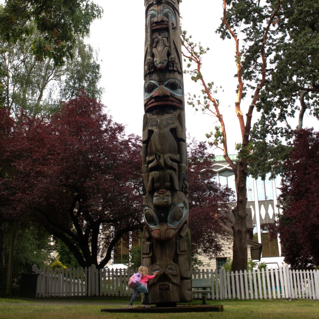
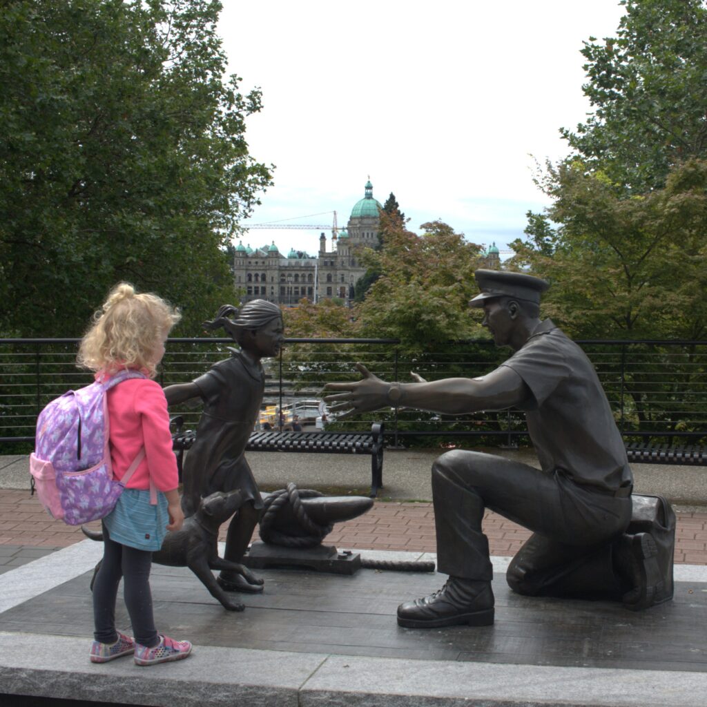
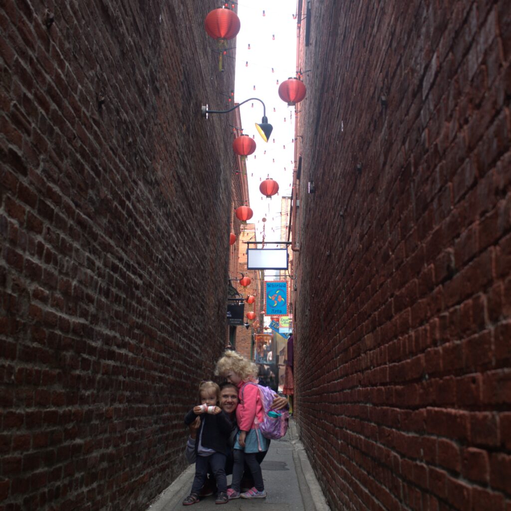
From Victoria, we headed east and north through Cattle Pass to Turn Island. While heading east, we were boarded by the Coast Guard. We passed our checks thanks to K running out and buy a new fog horn that morning. Turn Island is one of our favorite spots. We had amazing views from the boat and adventures on shore. The island is small enough to hike the entire perimeter even with small children. We were unnerved at times by the cliffs but enjoyed views in every direction. We were wishing we emptied our black water in Canadian waters where doing so is allowed. The head was backing up by the time we got to our next destination.

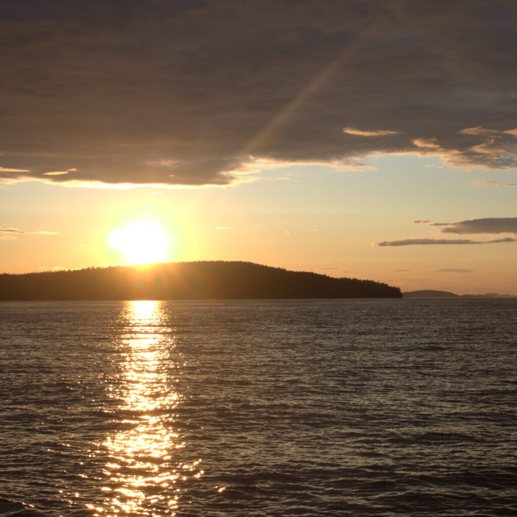
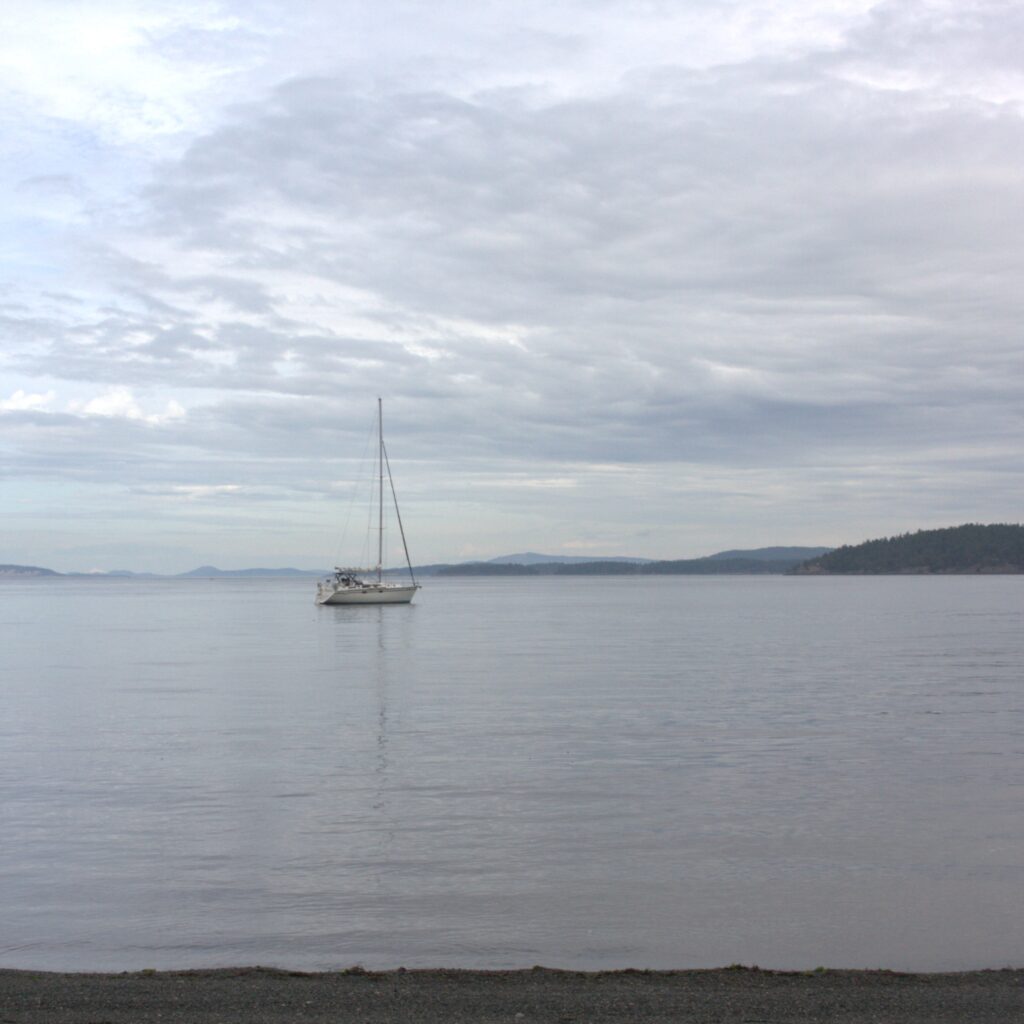
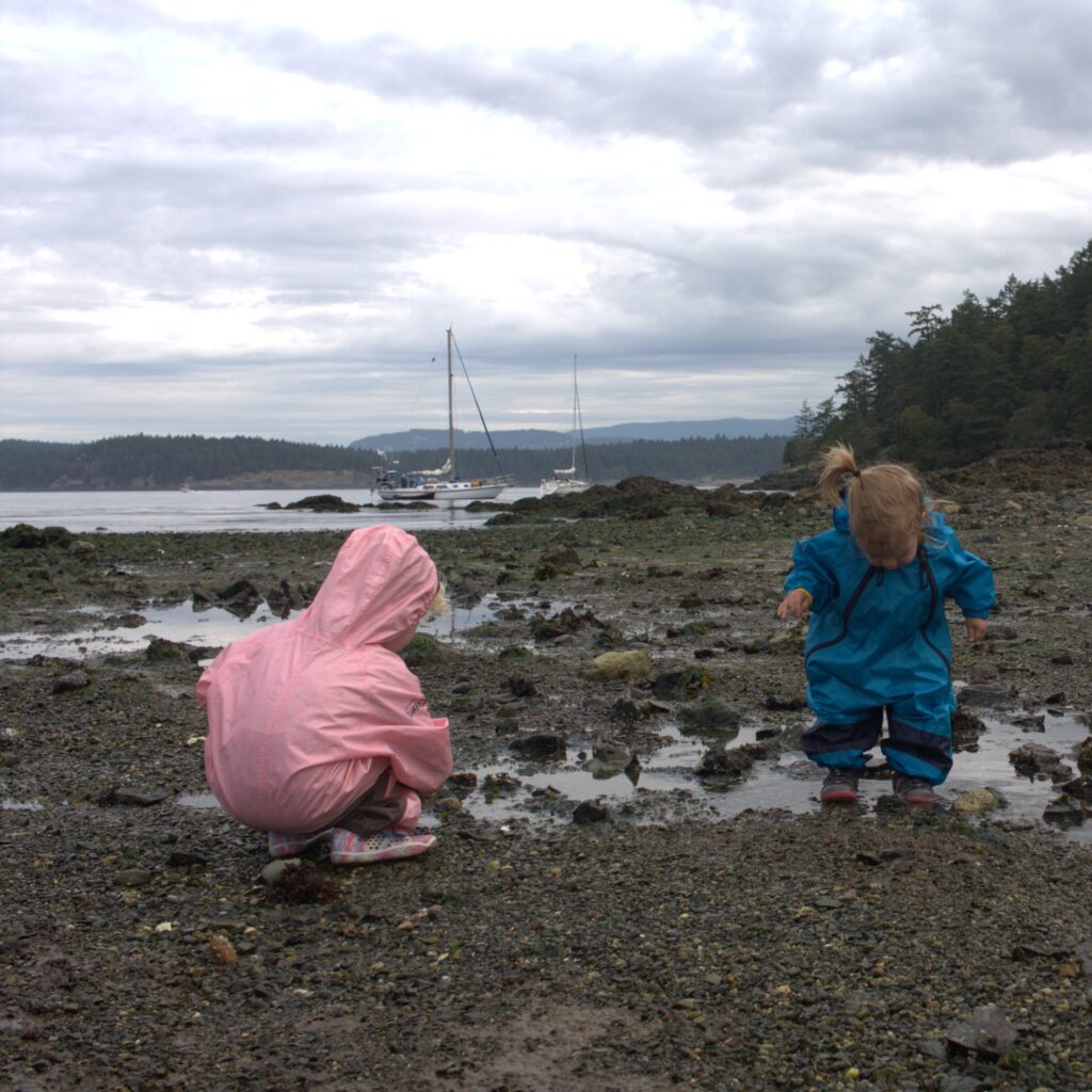
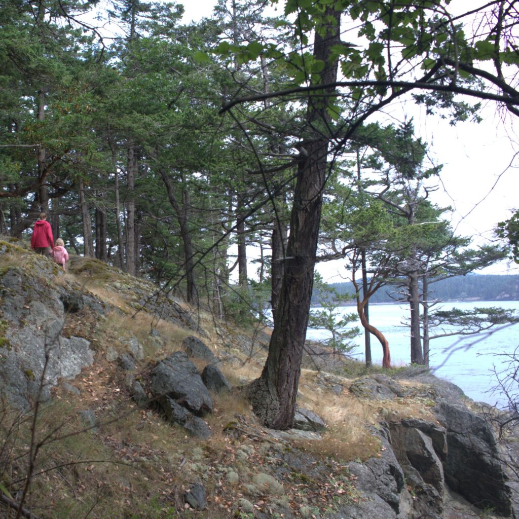
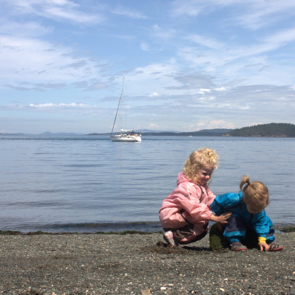
There was not overnight space at the Friday Harbor Marina but we were able to dock for the day and run some errands and explore. And we were able to pump out before anchoring. We have a few special memories from that stop. One was our toddler crying as we departed for shore on the dingy. She feared we were leaving Ibis behind for good. Another was coming across a seal on the dock who had just given birth. We saw her again the next morning swimming with her newborn. The kids even acquired a mother seal and baby seal at the local Ace to remember the experience.
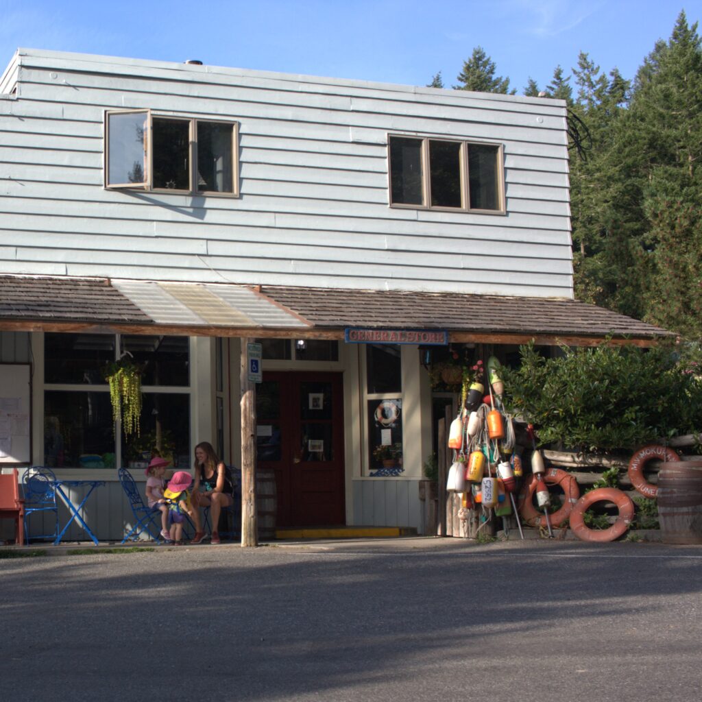
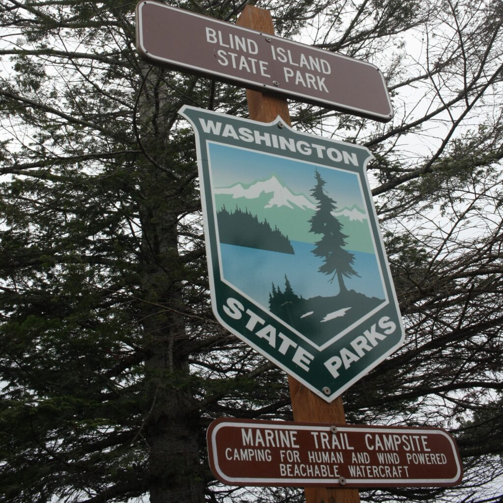
From Friday Harbor we went to Shaw Island. We made big promises to the kids of ice cream at the general store, but they were already closed when we arrived. But we were spotted by the owner and she thought we looked like a family in need of ice cream. She opened up just to allow us to grab a pint of ice cream and spoons. While anchored at Shaw Island we managed a longer visit to the general store as well as a longer conversation with the previous owner. And we hiked all of Blind Island.
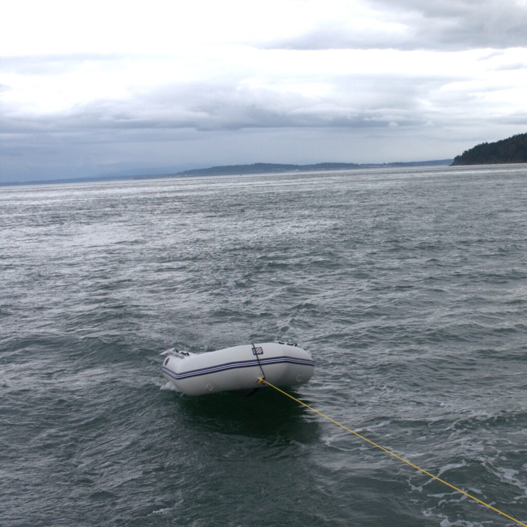
We then continued on to Obstruction Pass Park. Here we managed to get our dingy line caught in the propeller. J was able to dive in and get it out. Sadly, we would make the mistake again the following spring with greater consequences. Luckily there was service at this location because it was Amazon Prime Day and we managed a little shopping after the kids headed to bed. We hiked in the park and played at the beach. Interestingly, you have to cross private property to access the park. The house for the property is on the water and we managed to meet one of the owners during one of our hikes.
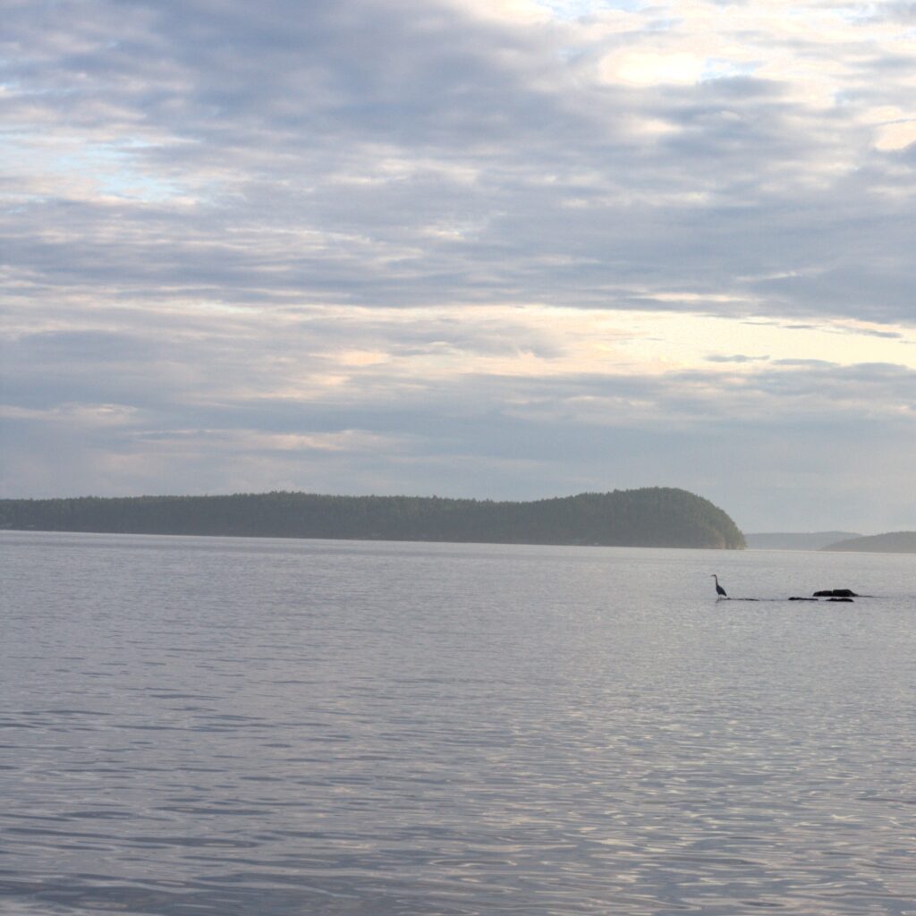
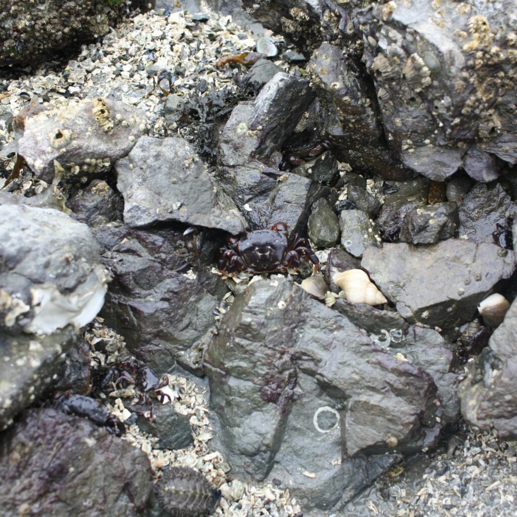
Our next stop was Spencer Spit, a great stop for kids thanks to all the fun driftwood ashore. We initially had a mooring ball south of the spit and were dealing with some rough water. After watching our toddler have to steady herself on the potty by resting her head against the dining table, we decided to move to a ball north of the spit, where it was much calmer. We enjoyed hiking in the park, building with driftwood, and walking to the end of the spit and spotting sea creatures.
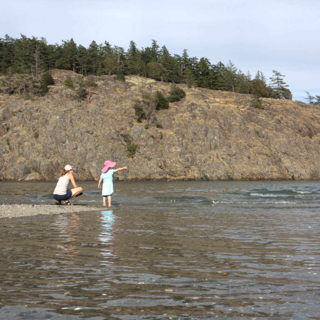
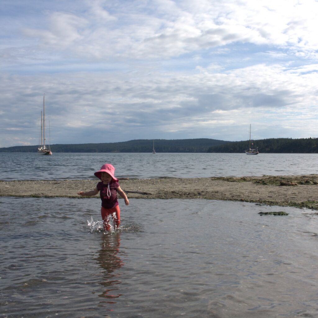
Our last stop in the San Juan Islands was James Island. This was another big hit because it is so small and feels remote. We stayed at the dock on the west side of the island. We enjoyed hiking the island and spending time on the beach on the east side of the island. We could easily use the composting toilets and eat dinner on land but feel remote. It is so remote that one could even, in theory, hang out naked on the beach.
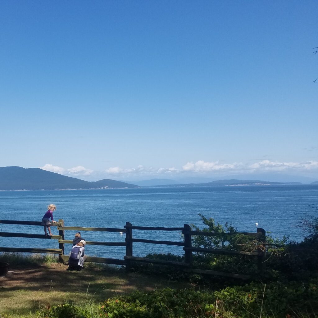
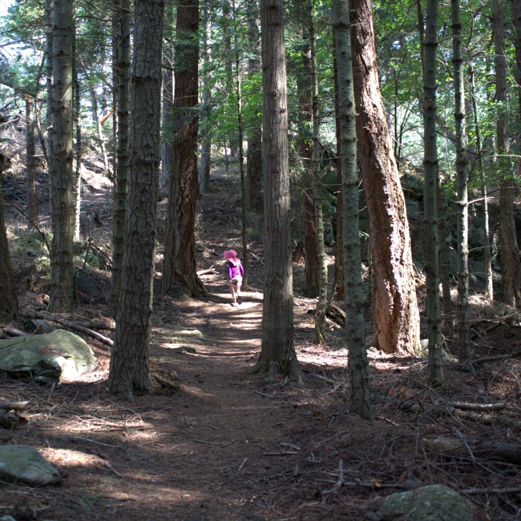
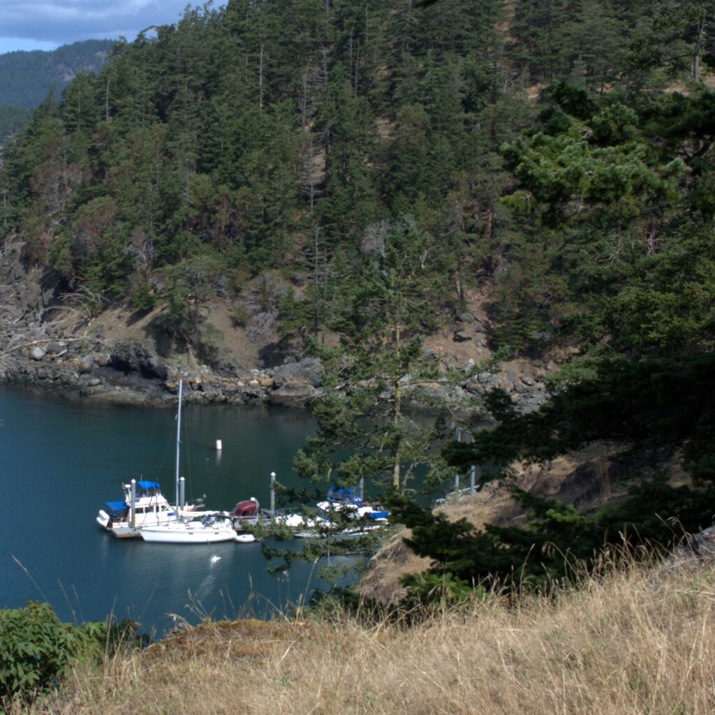
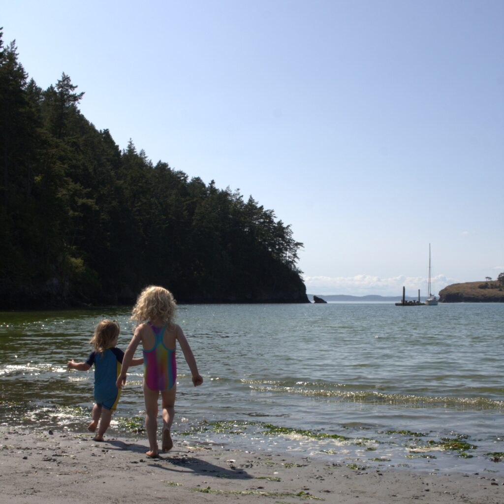
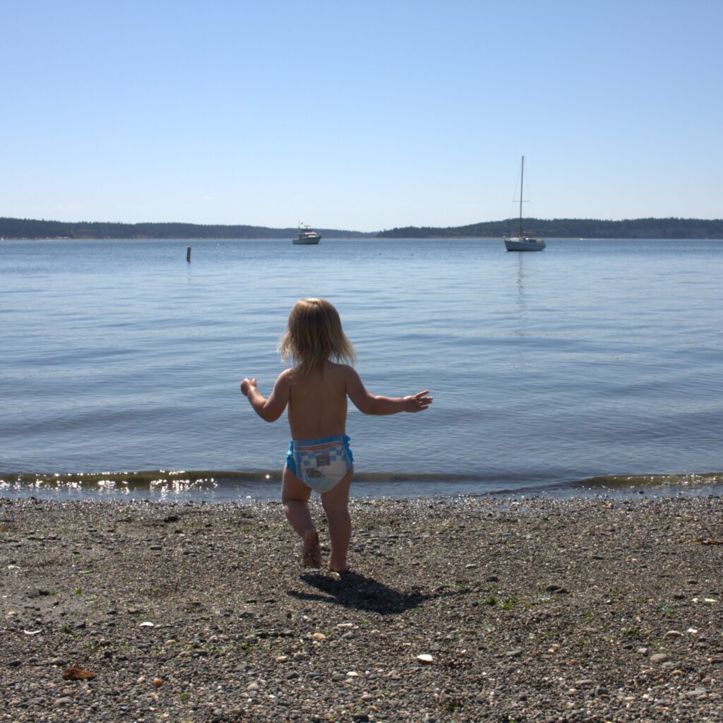
From James Island we headed south to Seattle with stops in Bowman Bay and Port Townsend. Bowman Bay included hiking and playing at the beach and playground. We didn’t have a great experience with the marina. Their map of their office location was incorrect so we needed to check in via phone and they failed to give us codes to use the restrooms, showers, and laundry (making chores very difficult that evening). But we did enjoy going into town to eat out and walk around. And the next morning we grabbed coffee at Better Living Through Coffee and spent time on the beach just behind the coffee shop. Of course our kids wound up taking their clothes off and splashing in the water.
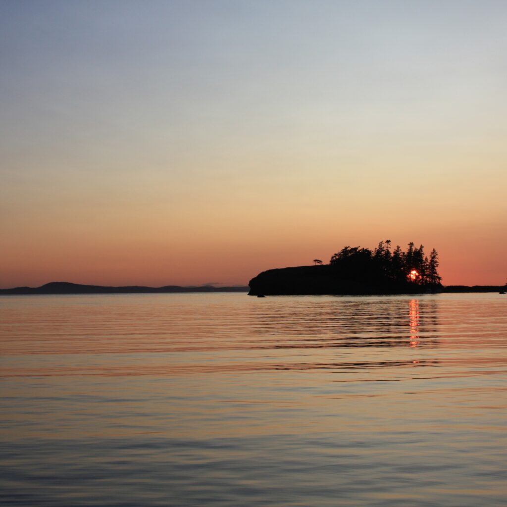
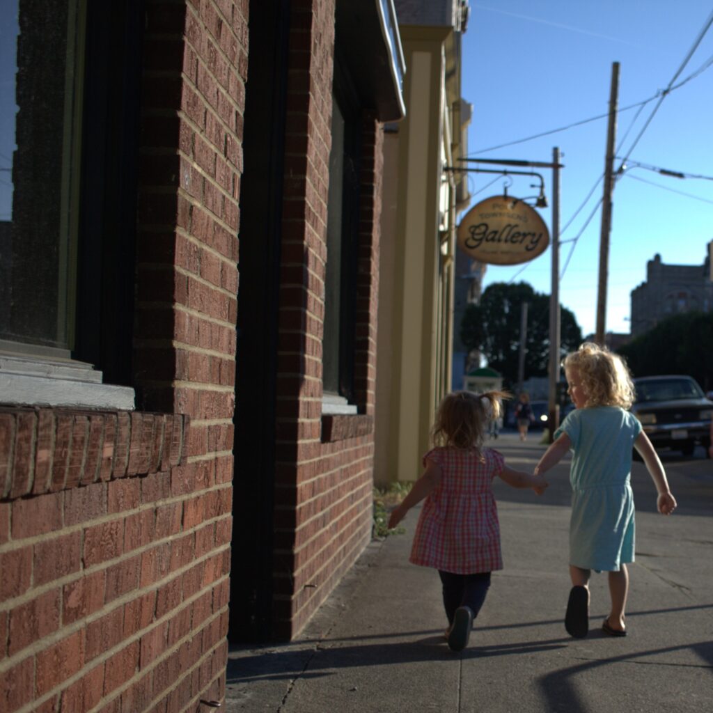
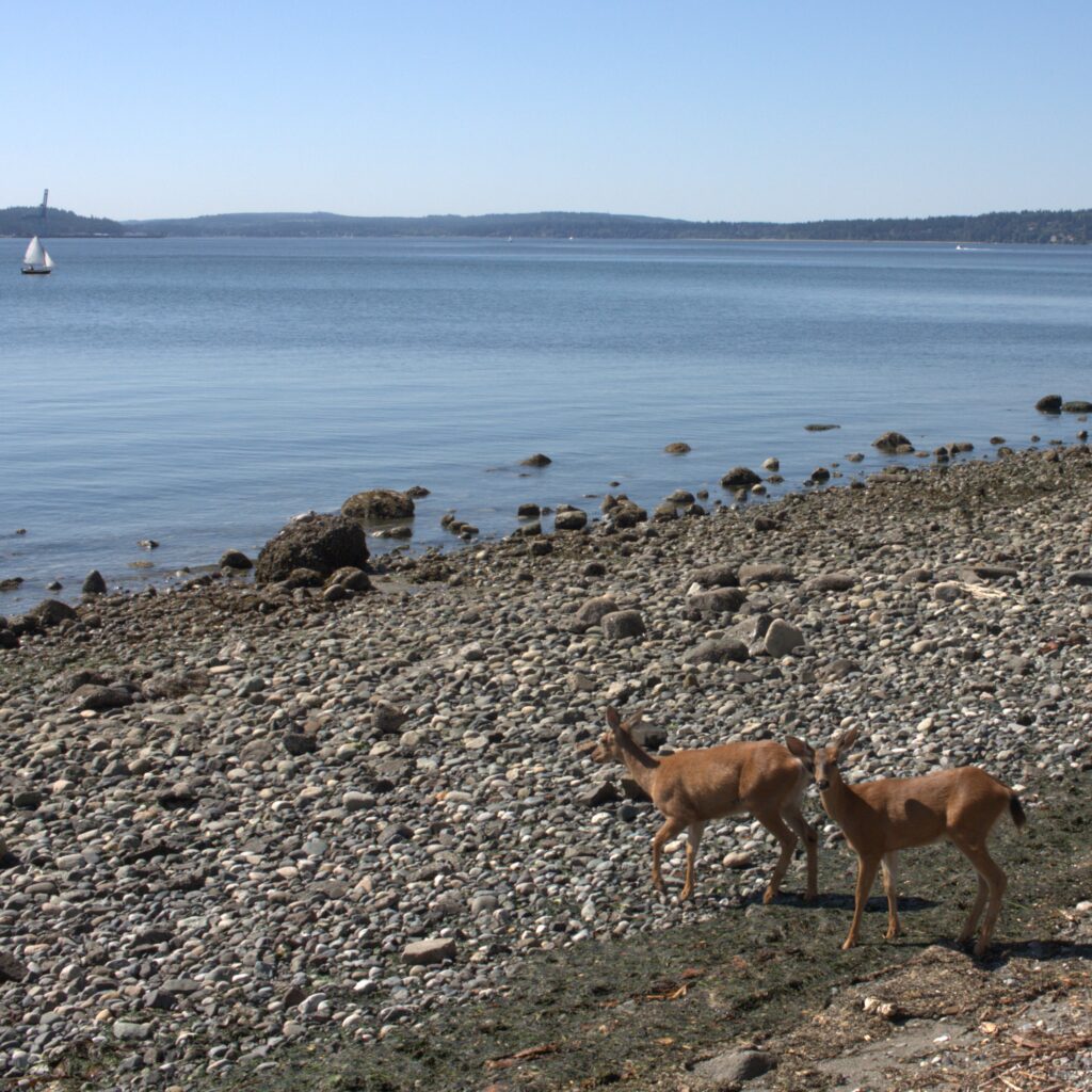
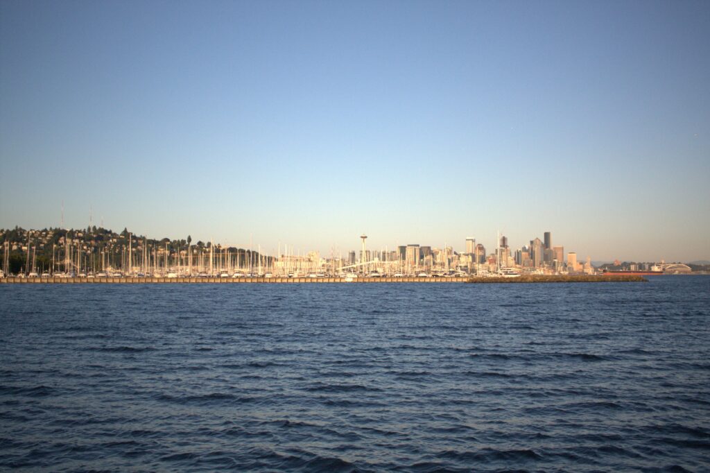
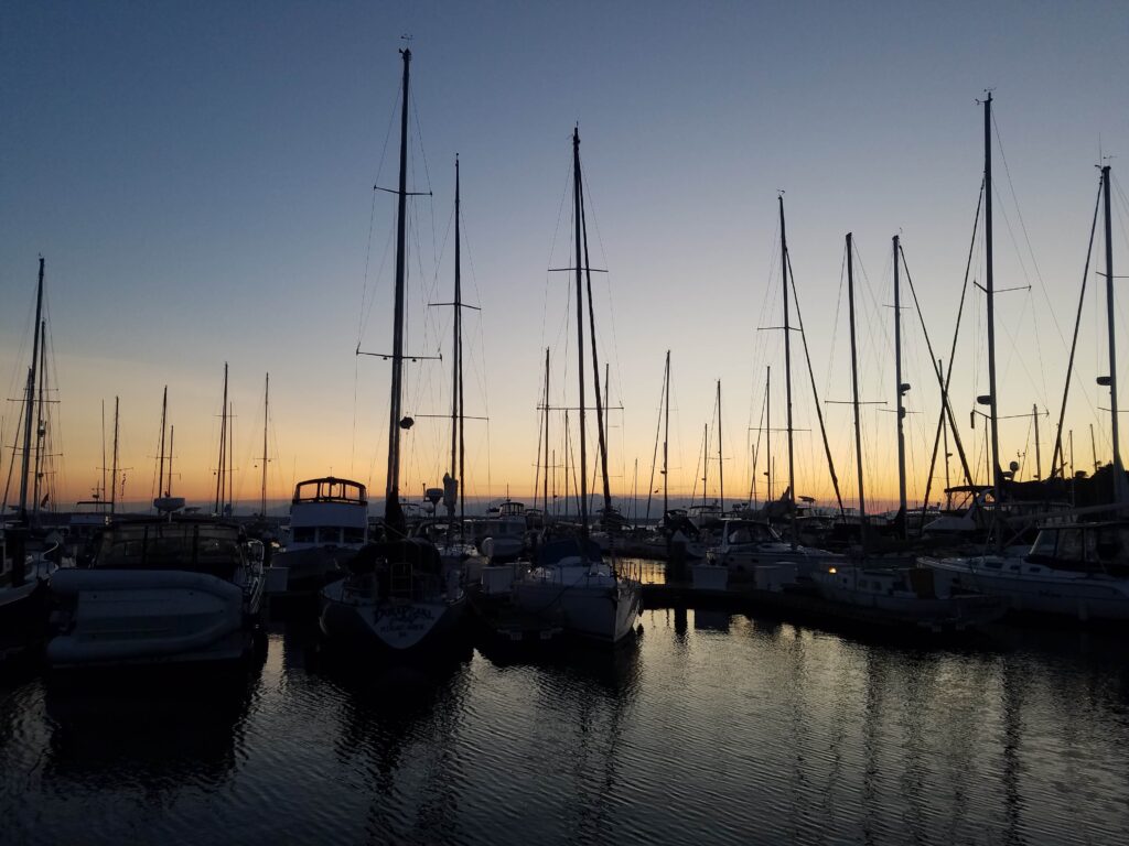
We originally planned one more stop enroute to Seattle but realized that one long run made more sense. We put the kids down while underway and stayed the night in our new marina. It was strange stepping off the boat the next morning to head home. We felt ready to go home but comfortable and excited for future adventures aboard Ibis. At the moment, we didn’t know our next trip to the San Juans would be two years later and with another child aboard.
A little follow up on our trip. Remember how we left the car at a train station? I took a train up to get the car a few days later with the kids and my mom visiting from Texas. The night before, J and I laughed at the idea that I would get to Bellingham and not have the car key. About thirty minutes into the bus ride, I realized I forgot the car key. After multiple calls and running around town, J managed to get the car key in a package on a bus with a stop at the train station in Bellingham. The kids, my mom, and I walked around and got dinner and made sure to be ready to receive our package. Even then, the driver said we had to get the package from the office, which was closed, and so we would have to wait until morning. With begging on my part and my mother clearly about to rip the package out of his hands, he handed the package over and we made our way home. It was one of those experiences that makes you cry in the moment and laugh later (much, much later).
